A broad low-pressure system will linger over Finland through the late autumn season. Recent forecasts show this weather pattern continuing into November with above-average cloud cover and precipitation.
Meteorologists report that Northern Europe faces persistent low-pressure conditions. This system brings mild and rainy weather to Finland and surrounding regions. The European Centre for Medium-Range Weather Forecasts (ECMWF) predicts this pattern will dominate through the third quarter of the year.
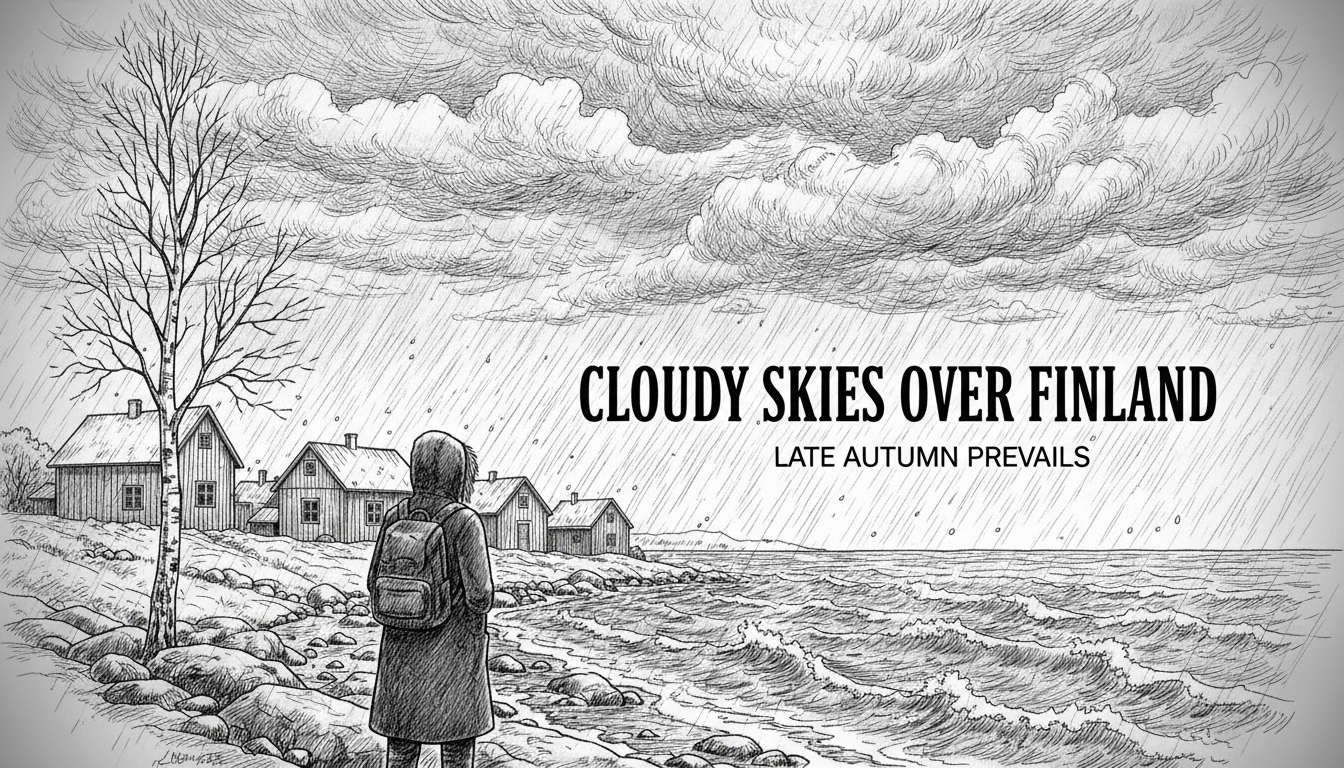
Last week's rainy day in Helsinki may become the norm rather than the exception. Forecasts indicate similar conditions through November's second half. The weather service notes a stalled low-pressure area over Northern Europe during October's final week.
A meteorologist analyzing the forecast described it as showing an unseasonably mild and low-pressure dominated weather type. The extended forecast suggests predominantly cloudy conditions with scattered showers continuing next week. Some breaks in cloud cover may occur locally.
What does this mean for daily life? Finns should keep rain gear handy through November's first full week. Similar weather appears likely through the month's latter half.
The current monthly forecast offers some consolation - predictions don't always materialize exactly. Day-to-day variation can be substantial even within broader patterns.
Beyond mid-November, indications still point to low-pressure areas bringing rainier than usual conditions to Northern Europe. Forecast predictability becomes weaker after November 10 according to weather experts.
These long-range forecasts represent average conditions rather than daily specifics. Considerable day-to-day variation remains possible throughout the forecast period.