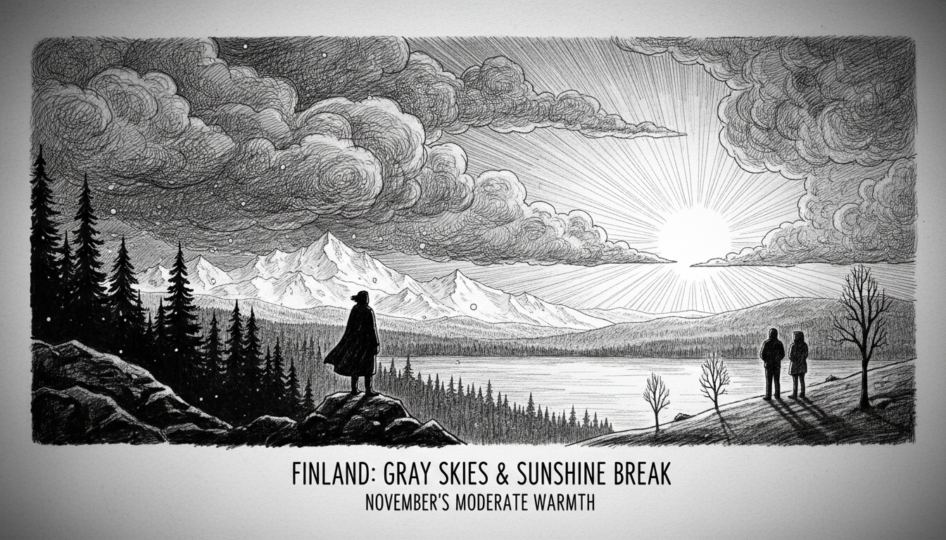
Clouds will dominate Finland's skies throughout the remainder of the week. Occasional breaks in the cloud cover may appear, but most areas will remain overcast. A new rainfall system will spread from Southwest Finland across southern and western regions by Thursday afternoon.
Meteorologist Heikki Sinisalo from the Finnish Meteorological Institute described the situation. "Most areas will experience mainly cloudy conditions," he said in a weather briefing.
A surprising change might occur amid the gray autumn weather. Thursday could bring some sunshine according to forecasters. The same rain system affecting the country today will linger over most of Finland through the weekend.
Northern Finland faces different weather patterns. Lapland will experience scattered showers of rain, sleet, and snow. "Only small amounts, but some white precipitation will likely arrive by evening at the latest," Sinisalo noted.
Central and Northern Lapland might see light frost even during daytime hours. Southern Finland will enjoy warmer temperatures compared to recent days. The southern parts could reach ten degrees Celsius by next week.
Sinisalo put these temperatures in perspective. "It's not a major change, but ten degrees and above in November starts to become a moderately high reading."
Southern Finland residents shouldn't expect snow anytime soon. The first snowfall for southern regions remains distant according to current forecasts. "There's no reason to talk much about southern snow conditions yet," the meteorologist concluded.
This weather pattern reflects typical Finnish autumn conditions, where gray skies dominate but occasional surprises break the monotony.

