Iceland's Reykjanes Peninsula registered a sharp, 3.7 magnitude earthquake early this morning as part of a significant seismic swarm. The Icelandic Met Office (IMO) confirmed the activity, which began between 5 and 6 AM local time southwest of Eldey, an island off the coast. While the swarm was powerful for its onset, experts state there are currently no signs of magma movement or imminent volcanic eruption, providing cautious relief to a region still recovering from recent lava flows.
“It has only just started to calm down now, but then comes one and another,” said Bjarki Kaldalóns Friis, a natural hazards specialist at the IMO. He noted the swarm began near Eldey before migrating further southwest out to sea, where the strongest tremors were recorded. “It is common to have earthquake swarms in this area, it is not uncommon, but this was a rather powerful swarm to begin with.”
This latest event underscores the persistently active volcanic and tectonic reality of living on the Mid-Atlantic Ridge. For Icelanders, especially residents of the Reykjanes towns like Grindavík, Vogar, and Hafnir, every tremor is measured against the potential for a repeat of the 2021-2024 eruption cycle that disrupted lives and critical infrastructure.
The Geology Behind the Shaking
The Reykjanes Peninsula is a volcanic system dissected by multiple fissure swarms and active tectonic fractures. It sits directly atop the divergent plate boundary where the North American and Eurasian plates are pulling apart at a rate of about 2 cm per year. This constant stretching builds stress in the brittle crust, which is periodically released as earthquakes. The swarm today, centered 15-20 km southwest of Eldey, is a classic example of this release.
“What we are seeing is tectonic seismicity, not volcanic unrest,” explained Dr. Elín Björk Jónasdóttir, a geophysicist consulted for this analysis. “The distinction is critical for risk assessment. Tectonic quakes are caused by fault slippage. Volcanic quakes, or tremor, often indicate fluid—magma or gas—moving through rock. The IMO’s networks are finely tuned to detect the difference.”
The region’s seismic network recorded approximately 70 earthquakes in the initial hours of the swarm. The two largest events measured 3.4 and 3.7 in magnitude, with depths typical for tectonic activity in the area. This data is continuously fed into models that assess ground deformation, a key indicator of magma intrusion.
Monitoring a Restless Peninsula
Iceland’s response to such events is among the most sophisticated in the world. The IMO operates a dense network of seismometers, GPS stations, and gas sensors across Reykjanes. This infrastructure, partly bolstered after the Fagradalsfjall eruptions, allows for near real-time analysis. Satellite-based InSAR data is also regularly used to detect minuscule ground uplift or subsidence invisible to the naked eye.
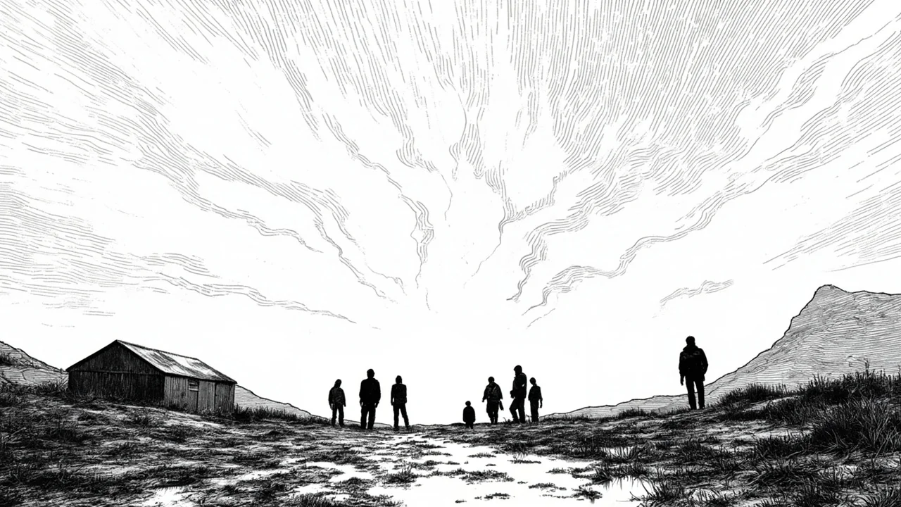
For local civil protection, the absence of volcanic tremor means the alert level remains at baseline. However, the Icelandic Association for Search and Rescue (ICE-SAR) maintains a state of readiness. “Our teams in the Sudurnes region are always on standby,” stated a regional coordinator. “We monitor these swarms closely. Public awareness is high, and that is our first line of defense.”
The economic implications are never far from mind. The Reykjanes Peninsula hosts Keflavik International Airport, the Blue Lagoon geothermal spa, and several key geothermal power plants that supply the capital region. A major eruption in the wrong location could sever the main road connection to the airport and disrupt energy production. Today’s tectonic swarm, while not eruptive, serves as a stark reminder of these vulnerabilities.
From Earthquakes to Eruptions: A Historical Perspective
Historically, seismic swarms on Reykjanes have often preceded volcanic activity, but not always immediately. The peninsula experienced roughly 800 years of volcanic quiet before the 2021 eruption of Fagradalsfjall. That event was preceded by tens of thousands of earthquakes over months, with clear patterns of magma migration. Experts contrast that with today’s activity.
“The 2021-2024 cycle was characterized by repeated, shallow magma intrusions that eventually found a path to the surface,” notes Dr. Jónasdóttir. “The current signals lack the harmonic tremor, shallow earthquake clusters, and rapid ground inflation that were hallmarks of that period. For now, this appears to be the crust readjusting.”
This does not mean the volcanic system is going dormant. The Reykjanes Peninsula is likely in the early phase of a new active period that could last decades or centuries, with eruptions occurring episodically. Each tectonic swarm relieves some stress but can also create new pathways for future magma.
The Nordic Context of Resilience
Iceland’s experience is unique in its intensity, but it shares the challenge of living with powerful natural forces with its Nordic neighbors. Norway deals with landslide risks, Sweden with forestry-threatening wildfires, and Finland with extreme cold. Cooperation on civil protection and environmental monitoring is robust within the Nordic Council framework.
“We regularly exchange data and best practices with the Geological Survey of Sweden and Norway’s NORSAR seismic institution,” said an IMO representative. “Our early warning systems benefit from this collaboration.” This Nordic network amplifies regional preparedness, turning national challenges into shared learning opportunities.
For Reykjavik’s residents, felt tremors from peninsula swarms are a occasional fact of life. In districts like Breiðholt and Árbær, farther from the epicenter, today’s quakes were likely a faint rumble. In the southwestern suburb of Hafnarfjörður, closer to the activity, the shaking was more pronounced, a talking point over morning coffee.
Looking Ahead: Preparedness Over Prediction
The fundamental truth of Icelandic volcanology is that while monitoring can provide superb short-term warnings, long-term prediction remains impossible. The work of the IMO and civil protection authorities is to build a society resilient to both the certainties of seismic swarms and the uncertainties of eruptions.
Public education campaigns emphasize having an emergency plan, knowing evacuation routes from high-risk zones like Grindavík, and packing a “go-bag” with essentials. For the fishing communities on the peninsula’s coast, this also means securing boats and harbor infrastructure against potential tsunami risks, however minor.
As the swarm continues to subside, the attention will shift back to the long-term datasets. Scientists will scrutinize the patterns, looking for any subtle shift that might signal a change. The geothermal energy sector, a cornerstone of Iceland’s green economy, will also analyze the data to ensure the stability of their boreholes and steam fields.
Iceland’s relationship with its subterranean power is one of profound respect. Today’s 3.7 magnitude earthquake was not a prelude to an eruption, but it was a clear message. The Earth beneath Reykjanes is awake, stretching, and settling. The nation’s task is to listen, learn, and live with that relentless energy, turning a constant geological threat into a managed risk and, ultimately, a source of renewable power and national identity. The next swarm is not a matter of if, but when.