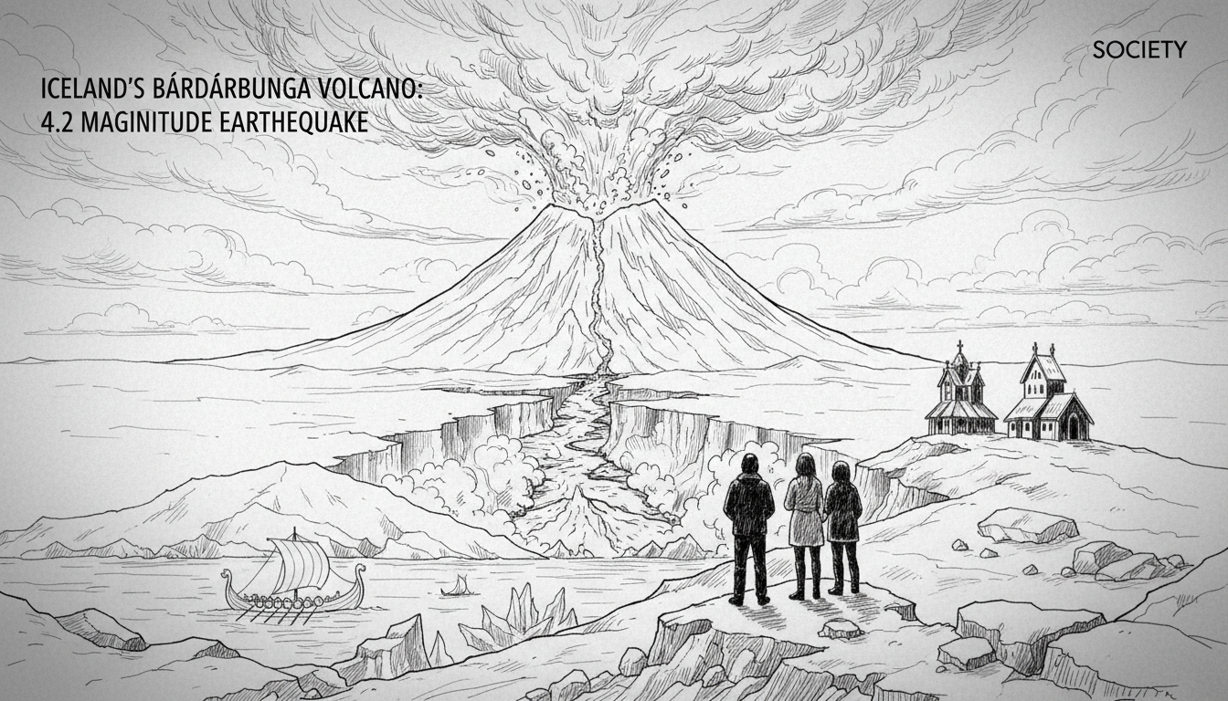
Iceland's Bárðarbunga volcano registered a 4.2 magnitude earthquake just before 9 AM on New Year's Day. The tremor, the largest recorded in the region this year, struck beneath Europe's largest glacier, Vatnajökull. No immediate aftershocks followed, but the event refocused scientific and public attention on one of the country's most powerful and closely monitored volcanic systems.
"This is fairly normal behavior for Bárðarbunga," said Jóhanna Malen Skúladóttir, a natural hazards specialist, in an interview. She confirmed the quake's significance, stating, "You could say this is the largest earthquake of the year." The last tremor exceeding magnitude 4.0 in the caldera occurred on October 29, 2025, measuring 5.4. This ongoing seismic activity is a constant reminder of the dynamic geological forces shaping Iceland.
A Subglacial Giant Stirs
Bárðarbunga is a massive stratovolcano completely concealed by the Vatnajökull ice cap. It forms a central part of a volcanic system that stretches over 190 kilometers. The volcano's last major eruption period was the Holuhraun event of 2014-2015, which created a vast lava field north of the glacier. That six-month eruption was Iceland's largest basalt lava flow in over 230 years and released significant amounts of sulfur dioxide, affecting local air quality and drawing Europe's attention to potential aviation disruption.
The New Year's Day earthquake originated within the volcano's caldera, an area known for persistent activity due to magma movement and geothermal forces. Jóhanna Malen Skúladóttir emphasized that such events are common. "Bárðarbunga is one of the most powerful volcanic systems in the country," she noted, underscoring why it remains under 24/7 surveillance. The Icelandic Meteorological Office (IMO) continuously tracks seismic data, ground deformation via GPS, and gas emissions from the region.
The Science of Surveillance
Volcanologists interpret earthquakes like this as part of the volcano's background chatter. They are essential signals, not immediate alarms. "Each quake gives us data points," explained a geophysicist from the IMO who requested anonymity as they were not the official spokesperson. "We look for patterns: swarms of earthquakes, migrating epicenters, or changes in the depth. A single 4.2-magnitude event, while notable, is part of the system's regular adjustment."
The key indicators for heightened eruption risk include a sustained increase in the number and strength of quakes, a shift in their location suggesting magma is forcing its way towards the surface, and measurable inflation of the ground above the magma chamber. As of January 1st, none of these escalation markers were observed following the 4.2 tremor. The monitoring network across Vatnajökull is extensive, designed to provide early warning for both glacial outburst floods, known as jökulhlaups, and potential volcanic eruptions.
Environmental and Economic Implications
Any significant activity at Bárðarbunga carries dual environmental implications. An eruption under the ice could trigger a massive jökulhlaup, a sudden flood of meltwater that could devastate infrastructure in the surrounding lowlands. The 2014 event prompted precautionary evacuations and road closures due to this threat. Secondly, a subglacial eruption can produce an ash plume composed of fine glacial sediment, which poses a severe risk to aircraft engines. The 2010 Eyjafjallajökull eruption, while a different system, demonstrated the continental-scale travel disruption an Icelandic ash cloud can cause.
From a Nordic perspective, Iceland's volcanic activity is a shared concern. The region's aviation authorities maintain close cooperation through the Nordic Volcanic Ash Operations Group. Sweden, Norway, Denmark, and Finland all have a vested interest in Iceland's monitoring accuracy and communication protocols. A major explosive eruption would have immediate knock-on effects for air travel across Northern Europe. Domestically, Iceland's crucial fishing industry also monitors volcanic activity, as past eruptions have led to temporary harbor closures due to ash fall or gas pollution affecting crew safety.
Living on a Geologic Powerhouse
For Icelanders, seismic events are a fact of life. The country sits astride the Mid-Atlantic Ridge, where the North American and Eurasian tectonic plates are pulling apart. This generates constant geothermal energy, which heats 90% of Icelandic homes, but also fuels frequent earthquakes and volcanic eruptions. The Reykjavik capital region, though distant from Bárðarbunga, is no stranger to seismic swarms, as seen in the ongoing activity on the Reykjanes Peninsula.
The government and emergency services operate under well-rehearsed contingency plans. The Department of Civil Protection and Emergency Management works directly with the IMO to assess risks and coordinate public messaging. The Althing, Iceland's parliament, has consistently funded the expansion of the geophysical monitoring network, recognizing it as critical national infrastructure. "It's a balance," said an Althing member from the Progressive Party. "We harness this geothermal power for clean energy, but we must also respect it. Continuous investment in science is our best tool for safety and preparedness."
Looking Ahead: Preparedness, Not Panic
The January 1st earthquake serves as a timely reminder of Iceland's unique geology. It was a significant single event in a year just begun, but not an indicator of an imminent eruption. The scientific consensus, as communicated by the IMO, is that the volcano remains in a state of typical unrest. Public advisories were not issued, and no changes were made to the aviation color code, which stayed at green.
The real story is one of sustained vigilance. Iceland has built a world-leading system of volcanic hazard mitigation out of necessity. The data from this quake will be fed into models, improving the long-term understanding of the Bárðarbunga system. For the international community, especially within the Nordic region, it underscores the importance of supporting this scientific work. The next major eruption in Iceland is a matter of when, not if. The goal is to ensure that when it happens, it results in managed disruption, not catastrophe. The quiet, constant watch over giants like Bárðarbunga is how that goal is achieved.