Icelandic authorities confirm an eruption on the Reykjanes Peninsula remains the most likely scenario in the coming weeks. Nearly 20 million cubic meters of magma have now accumulated beneath the Svartsengi area since the last eruption on the Sundhnúksgígar crater row this past July. The Icelandic Met Office states the risk assessment remains unchanged through the next month.
The magma accumulation is described as slow but steady, mirroring patterns from recent weeks. As it continues and pressure in the system rises, a magma flow from Svartsengi and a new eruption on the Sundhnúksgígar crater row is deemed the most probable scenario. A new eruption would likely be similar in nature and scale to the series of fissure eruptions that have occurred on the peninsula since 2021.
Seismic Activity Remains Constant
Earthquake activity has also been persistent. Earthquakes are being detected primarily between Sýlingarfell and Stóra-Skógfell, south of Þorbjörn, and at Víkar. Most of these tremors register below magnitude 1.5. Separately, an earthquake swarm is currently ongoing on the Reykjanes Ridge offshore. This swarm began between 5 and 6 AM and continues. The largest quakes measured so far were a magnitude 3.4 just before 6:30 AM and a magnitude 3.7, with their epicenters located 15 to 20 kilometers southwest of Eldeyjarboði on the Reykjanes Ridge. The larger event is still being analyzed.
Infrastructure and Community on Alert
The sustained magma intrusion directly beneath the Svartsengi region poses a significant and repeat challenge to critical infrastructure. The Svartsengi Power Station, a cornerstone of the Reykjanes Peninsula's geothermal energy supply, and the iconic Blue Lagoon spa are in the potential hazard zone. Both facilities have experienced repeated closures and evacuations during the current volcanic cycle, highlighting the disruptive economic impact of the unrest. The town of Grindavík, which was evacuated prior to the January 2024 eruption and suffered damage from lava flows and ground fissures, remains evacuated. Its future is intrinsically tied to the volatile activity beneath it. Civil Protection and emergency services maintain their preparedness plans, which include rapid evacuation protocols for affected areas if seismic activity escalates sharply.
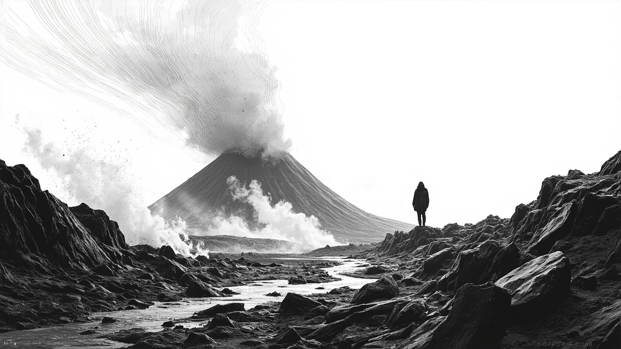
A Peninsula Redefined by Fire
The Reykjanes Peninsula is experiencing a major period of tectonic adjustment, with this being the eighth potential eruption episode since 2021. This marks a dramatic shift for a region that had been volcanically quiet for nearly 800 years. Each event follows a similar pattern: a period of intense seismicity and ground uplift as magma moves underground, followed by a fissure eruption characterized by spectacular lava fountains and extensive lava fields, but typically low explosive ash risk. The lava flows from previous eruptions in this cycle have already permanently altered the landscape near Grindavík and the surrounding highlands, creating new volcanic cones and vast black sheets of fresh basalt.
The Political and Scientific Response
The ongoing crisis has dominated the agenda at the Althing, Iceland's parliament. Lawmakers from the Reykjanes region have consistently called for accelerated state support for displaced residents and businesses. "The uncertainty is the heaviest burden," one MP from the South Constituency recently stated in a parliamentary debate. "We need clear, long-term frameworks for compensation and reconstruction, not just emergency response." The government has allocated funds for emergency housing and business continuity, but the political debate centers on the sustainability and scope of this support if the volcanic activity continues for years or decades, as some geologists suggest is possible. The cabinet receives daily briefings from the Met Office and the Icelandic Civil Protection.
Living with Volcanic Reality
For Icelanders, this is a stark reminder of their nation's geological reality. The events on Reykjanes are being monitored with a mix of scientific fascination and practical concern. While the eruptions have not threatened populated areas on the scale of the 2010 Eyjafjallajökull event, which paralyzed European air travel, the localized impact is severe. The recurrent evacuations and infrastructure threats test the resilience of communities and the national emergency framework. Scientists emphasize that this is likely not a short-term event but a new phase of volcanic activity for the peninsula. The data from the constant monitoring—GPS stations, seismometers, gas measurements, and satellite observations—is creating an unprecedented detailed picture of how magma moves through the shallow crust in a populated region, research that will have global scientific value.