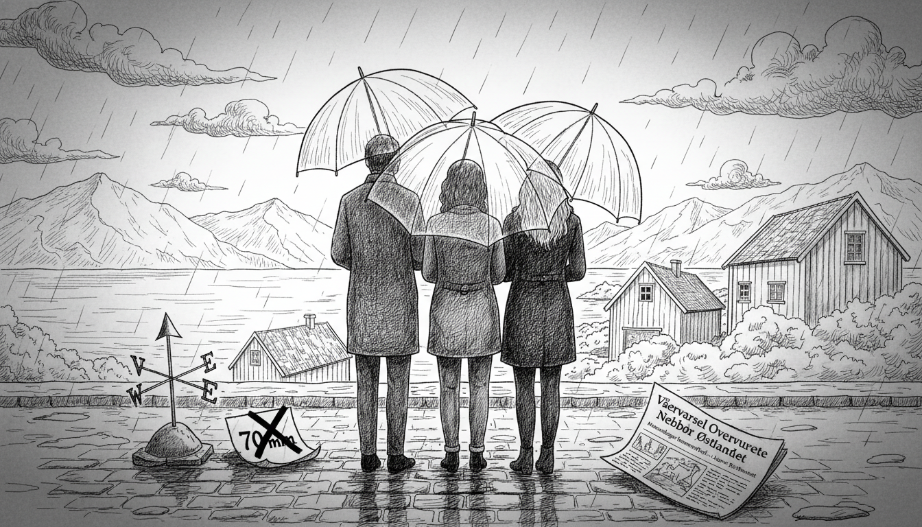
Meteorologists admit their weekend weather warnings were slightly excessive. Forecasts predicted heavy rainfall across Eastern Norway but delivered less than expected.
The Meteorological Institute issued multiple danger warnings before the weekend. They predicted "exceptionally heavy rain in Eastern Norway" on Friday and Saturday. Forecasts suggested up to 70 millimeters.
Authorities warned about possible flooding and transport disruptions. They even mentioned potential power and telephone outages in affected areas.
Weather officials predicted "difficult driving conditions" and possible landslides in some locations.
By Saturday morning, the reality became clear. "We got slightly less precipitation than the forecasts indicated. So the warnings were probably a bit excessive," admitted duty meteorologist Eldbjørg Moxnes.
The highest rainfall measurements came from Sjusjøen at 44.6 millimeters. Rena recorded 43.2 millimeters, Telemark saw 40 millimeters, and Asker received 36 millimeters.
For context, 10 millimeters of rainfall equals 1 centimeter of water on a horizontal surface. A typical wet rainy day usually brings about 20 millimeters of precipitation.
"Getting up to 45 millimeters instead isn't necessarily a complete miss. There's always some uncertainty in weather forecasts. This time they didn't fully materialize," Moxnes explained.
Some areas received much less rain than predicted. Bygdøy and Blindern measured no more than 15 millimeters.
"People might have gotten the impression it would be really bad. But from our side, yellow danger warnings represent the lowest level. It means you should be aware but not evacuate," the meteorologist clarified.
Do people actually pay attention to these warnings? Many admit they ignore most alerts, only taking notice when conditions sound particularly severe.
Meteorologists emphasize the importance of proper warning interpretation. "Yellow warnings don't mean you should turn your life upside down. They mean taking some precautions," Moxnes said.
She suggested practical measures like checking basements for potential flooding. Avoiding driving through areas known for water accumulation during heavy rains also helps.
Norway's color-coded warning system began in 2018. Orange signals weather that could cause serious damage, while red indicates potentially extreme conditions.
Flood monitoring officials at the Norwegian Water Resources and Energy Directorate maintained yellow flood warnings around Oslo and Drammen through Saturday afternoon.
"There's still plenty of water in several rivers. But the flood peak has passed," said duty officer Ann-Live Øye Leine.
Monitoring stations in Nordmarka and Finnemarka registered floods at yellow and orange levels throughout Saturday.
"The rainfall had less severe consequences than feared. But the Drammen area experienced challenges with water on roadways," Leine noted.
She confirmed that flood warnings proved accurate for areas that actually received heavy rainfall.
Officials couldn't immediately provide the total number of warnings issued this year. They're continuously working on improving how danger levels get adjusted and communicated to the public.
"It's always a difficult balancing act," Leine acknowledged.
Weather forecasting remains an imperfect science, and this weekend's events show how even modern technology can overestimate nature's intensity. The system worked as intended—erring on the side of caution rather than underestimating potential risks.