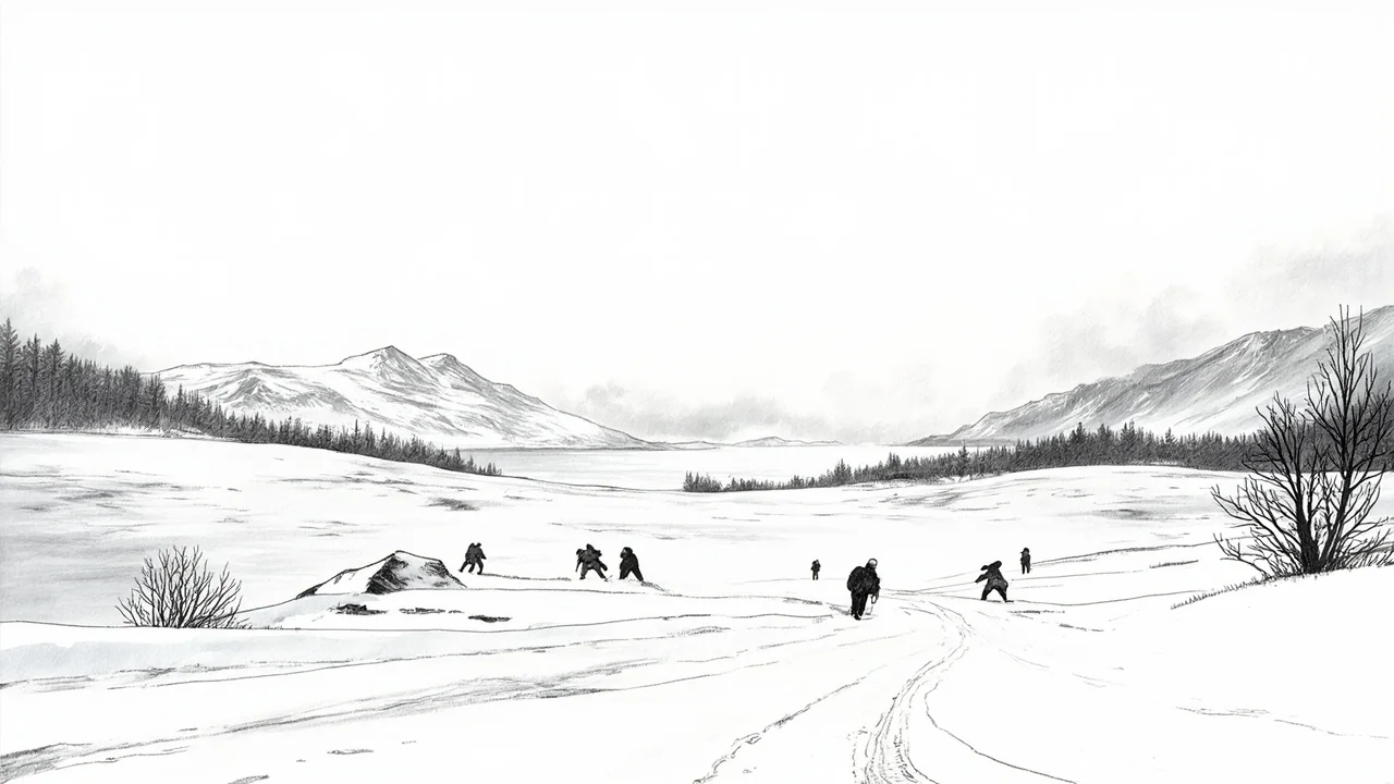
Norway's Meteorological Institute has issued a severe orange-level danger warning for up to 40 centimeters of snow in southern regions, while the Arctic north recorded its coldest temperature since 2017 at -41.5°C. The dramatic shift from a clear, cold Sunday to a week of heavy snow, rain, and powerful winds presents a multi-phase challenge for transport, infrastructure, and public safety across the country.
Pernille Borander, a meteorologist with the Institute, urged citizens to prepare for difficult conditions. "People must enjoy the day today if they like winter weather," Borander said in a statement. "Next week offers days where traffic could be troublesome." The forecast outlines a precise sequence of hazards: intense snowfall on Monday, followed by rain on Tuesday that will fall atop the fresh snow, creating risks of ice and flooding.
A Nation Braces for a Treacherous Transition
The immediate concern focuses on the Agder region in southern Norway, where the orange warning is in effect. Local forecasts predict 25 to 40 centimeters of snow within a 24-hour period starting Monday, with the heaviest accumulations expected just inland from the coast. A yellow warning for snow also covers parts of Agder and southern Telemark. For coastal areas, the snow is expected to transition to sleet by late Monday evening, beginning in the west.
"The first challenge is Monday with the snow, then rain on top of that from Tuesday morning, especially for coastal areas," Borander explained. "That can lead to slippery conditions and surface water." The meteorologist highlighted the particular risk for urban centers, where snow removal operations will be immediately followed by rain, leaving bare, wet pavement. She emphasized the universal need for caution, increased travel time, and driving adapted to the conditions.
Powerful Winds and Arctic Cold Compound the Crisis
While the south grapples with snow and rain, much of the country is under a yellow warning for strong winds. Forecasters predict locally powerful gusts between 27-35 meters per second from the southeast, reaching near-storm force on the coast and in mountain areas. These winds are expected to cause blowing snow in mountain regions across southern Norway, reducing visibility, and may also affect exposed lowland areas.
The wind warnings span from Nordland and Trøndelag in the north to Møre og Romsdal and Vestlandet in the west. The combination of heavy, wet snow and strong winds raises the risk of downed trees and power lines, particularly in regions where the snow load will be significant.
In stark contrast, northern Norway remains in a deep freeze even as slightly milder air is predicted to move north later in the week. The village of Karasjok recorded a temperature of -41.5°C in the early hours of Sunday, the coldest reading in the country since 2017. This extreme cold, while not part of the immediate storm system, underscores the vast and challenging climatic range Norwegian authorities must monitor simultaneously.
The Multi-Phase Threat to Daily Life
Borander outlined a week where each day brings a distinct set of problems. Monday's heavy snowfall will disrupt road and rail travel, requiring widespread plowing. From Tuesday morning, a new danger emerges as rain is forecast to fall across the south, with up to 20 millimeters expected from Tuesday morning through Wednesday. This rain on a frozen or snowy base is a classic recipe for hazardous black ice and localized flooding from overwhelmed drainage systems.
"Wednesday looks quite wet for southern Norway and the southern parts of eastern Norway," Borander noted. The sequence transforms the snow from a manageable, if disruptive, winter event into a prolonged period of varied transport hazards. The advice from officials is unequivocal: the public should avoid unnecessary travel, allow substantial extra time for essential journeys, and ensure vehicles are properly equipped for winter conditions.
Analysis: A Test for Preparedness and Climate Resilience
This incoming weather system presents a classic Norwegian late-winter challenge, but its specific progression—rapid heavy snow followed immediately by warming and rain—is particularly problematic. It tests the resilience of municipal services, which must quickly switch from snow clearance to flood and ice management. It also places a burden on the national road authority, which must treat highways for ice across large sections of the south.
From a broader perspective, these volatile weather patterns, with sharp transitions between extreme cold, heavy precipitation, and strong winds, align with climate models that predict more intense and variable winter weather for the Nordic region. While a single storm cannot be attributed directly to climate change, the increasing frequency of such complex, multi-hazard events strains traditional response frameworks. It highlights the need for integrated planning that considers cascading risks, such as power outages during a freeze-thaw cycle or transport gridlock during a rapid phase change from snow to rain.
Norway's robust infrastructure and generally high public awareness of winter weather provide a strong foundation. However, the true test lies in the seamless transition between response phases that Borander described. The effectiveness of communication between the Meteorological Institute, emergency services, road authorities, and the public will be a critical factor in mitigating the storm's impact.
Looking Ahead: A Week of Heightened Vigilance
The coming days will require sustained public attention to official warnings. The situation is dynamic, with wind patterns and temperature lines dictating whether specific areas receive 40 centimeters of snow, a mix of sleet and rain, or primarily heavy rainfall. Mountain passes and coastal roads are likely to see the most severe conditions.
Residents, particularly in the orange and yellow warning zones, are advised to secure outdoor objects, check on vulnerable neighbors, and prepare for potential disruptions to power and travel. The storm serves as a potent reminder of nature's force in Scandinavia, even as winter begins to loosen its grip. Will Norway's famed winter readiness be enough to handle a storm that brings every possible challenge in rapid succession? The answer will unfold from Agder to Karasjok over the next 72 hours.