Finland's deepening cold snap shows no signs of relenting, with meteorologists warning of temperatures plunging to -30 degrees Celsius and the unusually frigid period potentially extending into March. The European Centre for Medium-Range Weather Forecasts (ECMWF) indicates the current cold spell gripping the country could last through the first weeks of next month. From the second week of February, parts of the country are forecast to be up to 10 degrees colder than typical, with southern regions already experiencing temperatures around -30 degrees.
"There is no relief in sight even for next week," said Eero Hallavo, a meteorologist on duty at the Finnish Meteorological Institute. "The frost will remain severe, especially during cloudless and low-wind nights." According to the Institute, the coldest areas will approach -30 degrees tonight. The ridge of a high-pressure system will maintain cold and weak-wind nights across southern and central Finland during the weekend as well. In Lapland, the weather will turn cold again starting Saturday.
A Prolonged and Intense Freeze
Foreca, another weather service, has described the situation as a 'cold trap' in its blog, underscoring the persistent nature of this atmospheric pattern. The data presents a consistent picture of sustained low temperatures. The weather is expected to remain colder than usual through the end of February and the beginning of March. Around the turn of the month, temperatures in the south and west are predicted to hover around zero, while elsewhere in the country, frost between -2 and -6 degrees Celsius will prevail. The first week of March is forecast to continue slightly cooler than normal.
This forecast alignment from multiple meteorological sources points to a significant and enduring weather event. The core of the cold air mass is firmly entrenched over the region, driven by the dominating high-pressure system. This setup promotes clear skies and calm winds at night, ideal conditions for maximum radiative cooling where heat escapes into the atmosphere, allowing temperatures to plummet to their lowest possible points.
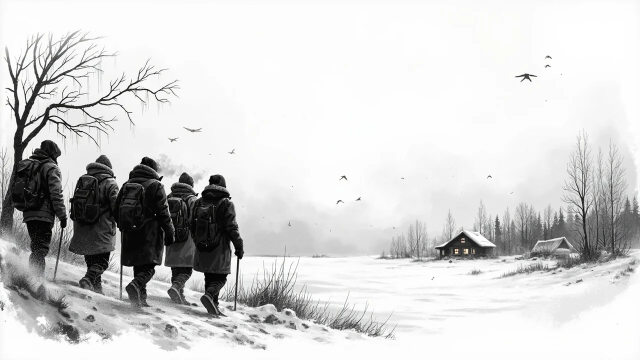
Regional Impacts and Weekend Outlook
The cold is not uniform but poses a serious nationwide challenge. Southern Finland, where population centers are denser, faces the shock of extreme lows rarely seen in recent winters. The forecast for tonight, with local temperatures nearing -30 degrees in these regions, triggers severe weather warnings and activates municipal extreme cold protocols focused on vulnerable populations. In central Finland, the persistent weak-wind nights mean the cold feels more penetrating and frost forms heavily.
Lapland, while no stranger to deep cold, will see a renewed dip starting Saturday after a brief moderation. This return to severe frost conditions impacts transportation, tourism, and outdoor industries. The weekend outlook for the entire country remains firmly in the grip of the high-pressure ridge, meaning sunny but bitterly cold days followed by intensely frosty nights with little wind to mix the air.
Analyzing the Meteorological Drivers
The key to understanding the prolonged forecast lies in the behavior of the high-pressure system. These systems are characterized by sinking air, which inhibits cloud formation and leads to stable atmospheric conditions. The current high-pressure 'ridge' acting over Finland is both strong and stubborn, showing little movement in predictive models. This stability is what meteorologists refer to when they state no relief is in sight, the large-scale weather pattern is locked.
Furthermore, the ECMWF's medium-range projection suggesting a continuation into March is based on the persistence of these large-scale atmospheric blocking patterns. Such patterns can deflect the milder, Atlantic low-pressure systems that typically bring thawing temperatures and precipitation to Finland at this time of year. The 'cold trap' metaphor effectively describes this phenomenon where the country remains isolated from moderating influences.
Societal and Practical Implications
A cold spell of this predicted duration and intensity moves beyond a mere weather story into a matter of public infrastructure and safety. Energy consumption for heating spikes dramatically as temperatures fall far below seasonal norms, putting pressure on the power grid. Prolonged periods below -20 degrees Celsius also increase risks of infrastructure failures, from frozen pipes to challenges in public transportation and road maintenance.
The warning from the Finnish Meteorological Institute serves as a critical official communication for municipalities, emergency services, and citizens to prepare for an extended period of hazardous conditions. It advises on appropriate precautions for health, home, and travel. The explicit statement that the severe frost will continue, particularly on clear nights, provides specific information for people to plan outdoor activities and protect property.
Looking Beyond the Immediate Forecast
While the focus is rightly on the coming days and weekend, the forecasts pointing to a cold late February and early March have broader implications. An extended winter impacts seasonal businesses, agriculture planning, and even national energy reserves. The comparison to typical temperatures for the season highlights the anomaly, being 10 degrees colder than normal for an extended period is a significant climatic deviation.
The consensus among forecasting bodies strengthens the reliability of the prediction. When both the national institute and European center align on a prolonged event, it indicates high model confidence. For Finns, this means preparing not for a brief cold snap but for a defining feature of the remainder of the winter season. The question now is not if the cold will break, but when the larger atmospheric pattern will finally shift to allow it.