Finland's weather is set for a dramatic and dangerous plunge into severe arctic cold, with forecasts indicating temperatures could drop as low as minus 35 degrees Celsius in the coming days. The shift is driven by a strengthening high-pressure system spreading across the entire country, according to analysis from Foreca's weather blog. While widespread cloud cover has moderated frost levels recently, meteorologists warn that breaks in this cloud blanket will allow the deep freeze to intensify significantly.
Meteorologist Joonas Koskela, who authors the blog, detailed the gradual tightening of the cold grip. "The frost will intensify gradually, and in cloudy areas the temperature will be around 15 degrees below zero in the coming days, in the north on clear areas 20 to 30 degrees," Koskela wrote. The current weather pattern shows a mostly cloudy and weak-wind situation for Wednesday and Thursday, with the possibility of light sleet or snow showers in many places.
The Peak of the Cold
Friday and Saturday are currently forecast to be the coldest days of the week, marking the peak of this arctic intrusion. Koskela's Tuesday forecast outlines a stark picture for the end of the working week. "As the cloud cover breaks, the frost can intensify on Friday and Saturday nights to between 20 and 25 degrees below zero even in the south. In the clear areas of the north, the temperature will be 30 to 35 degrees below zero." This prediction places southern Finland into a range of severe cold rarely seen this winter, while northern regions brace for conditions that pose a serious risk of frostbite and demand heightened caution for all outdoor activities.
The extreme values, however, come with a significant caveat directly tied to cloud cover. Koskela specifically reminds the public that much depends on the actual behavior of the clouds. He notes that the cloud forecast itself currently shows considerable uncertainties. Persistent cloud layers, particularly over southern regions, could guarantee milder winter nights by acting as an insulating blanket, trapping what little heat exists near the ground and preventing temperatures from falling to their full potential.
Meteorological Mechanism Behind the Deep Freeze
The impending cold spell is a classic Finnish winter scenario, driven by the establishment of a dominant high-pressure cell. These systems, often originating over the arctic or continental Russia, feature sinking air that suppresses cloud formation and leads to clear skies. While the sun is weak in late winter, the clear conditions are a double-edged sword. During the short daylight hours, some solar energy may reach the surface, but the long, cloudless nights allow terrestrial radiation to escape freely into space, resulting in rapid and extreme cooling at the surface. The absence of wind, also a common feature under a strong high-pressure system, prevents the mixing of air and allows a layer of intensely cold air to develop and settle near the ground.
This weather pattern contrasts sharply with the milder, cloudier conditions Finland has experienced recently, where overcast skies have kept nighttime temperatures from plummeting. The transition from a cloudy to a clear regime is what forecasters are watching closely, as the exact timing and extent of cloud breaks will determine the lowest temperatures recorded in each locality. Coastal areas may experience slightly less severe cold due to the moderating influence of the sea, but inland areas, especially in the northern interior, are most likely to see the most extreme readings.
Public Advisory and Historical Context
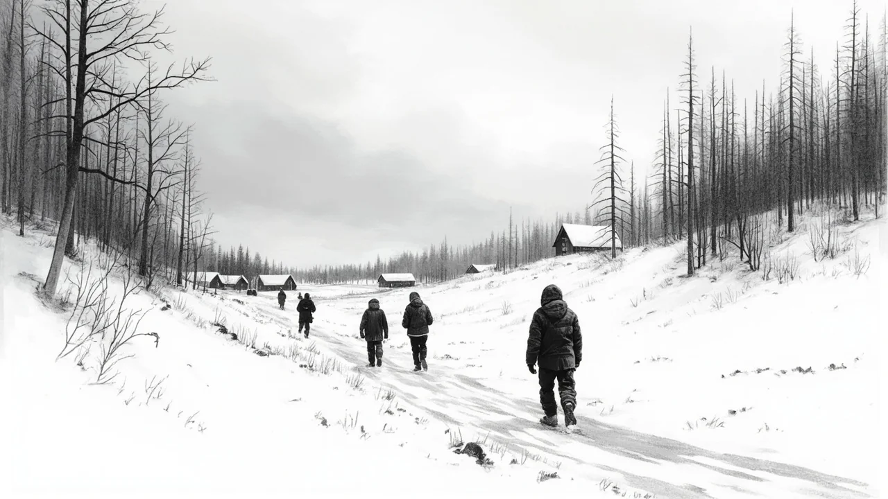
While the forecast does not constitute an official warning, such extreme cold automatically triggers public awareness of the associated dangers. Authorities and organizations like the Finnish Red Cross routinely advise citizens on cold weather preparedness during such forecasts. Key recommendations include wearing multiple layers of clothing, ensuring outer layers are windproof, covering all exposed skin to prevent frostbite in minutes, and being extra cautious near icy surfaces. The cold also places significant strain on infrastructure, testing building insulation, vehicle batteries, and the energy grid as heating demand soars.
Finland is no stranger to severe cold, its climate is defined by winter's harshness. However, a predicted low of -35°C represents a notable weather event, even for Lapland. Such temperatures demand respect and preparation. They impact everything from transportation schedules, as diesel fuel can gel and mechanical systems fail, to school operations and outdoor work regulations. For many, it will mean altering daily routines and postponing non-essential travel.
The coming days will test the accuracy of the cloud forecast. If the skies clear as the high-pressure system strengthens, Finland will experience a sharp, textbook example of continental arctic cold. If the clouds prove more resilient, particularly in the south, the bite of the frost will be less severe. Regardless of the final numbers, a significant and widespread drop in temperature is certain, marking a return to a more typical, and formidable, Finnish winter profile after a period of relative moderation. The situation remains fluid, and the public is advised to monitor updated forecasts from the Finnish Meteorological Institute for official warnings and precise local predictions as the week progresses.