Finland is bracing for the return of a severe cold spell that is set to push temperatures below minus 20 degrees Celsius across the country's interior. The Finnish Meteorological Institute confirms a mass of near-Arctic air is spreading westward from Russia, heralding another bitter stretch of winter weather. Meteorologist Petteri Pyykkö noted in an institute bulletin that precise temperature predictions are challenging due to variable cloud cover, but the overarching trend is clear and sharp.
A Wave of Cold Air from the East
The driving force behind the incoming freeze is a high-pressure system extending from Russia into southern and central Finland. With winds expected to be light, the cold will intensify significantly, especially under clear skies. Pyykkö emphasized the profound effect of cloudless conditions, stating that a clear sky over a 24-hour period could depress temperatures by as much as 15 degrees in the prevailing situation. This means that while sunshine is increasing slightly compared to the Christmas period, its warming effect during the afternoon remains minimal.
Regional Forecasts and Snow Showers
The cold will grip the nation unevenly. By Thursday, temperatures in eastern Finland could already plunge to around minus 20 Celsius. Over the weekend, the air will cool further, with the mercury potentially dropping to nearly minus 30 in the clearest areas of the interior. Interestingly, northern Lapland will see a brief influx of slightly warmer air on Friday and Saturday, making central Finland the likely epicenter for the most intense cold during that period. Meanwhile, snow showers generated over the sea will add another layer to the weekend's conditions. On Thursday and Friday, these snow flurries may hit the southern coast between Hanko and Porvoo, depositing a couple of centimeters of powdery snow. Similar intense showers could target the Vaasa region on Sunday as airflow turns southerly.
Helsinki's Relative Reprieve and a Biting Wind
The capital region may experience a temporary, slight buffer from the very hardest frosts before the weekend, thanks to expected greater cloud cover from the coastal snow showers. However, this comes with a significant caveat. A northeast wind along the southern coast will dramatically increase the wind chill factor, making the cold feel far more penetrating and harsh despite potentially slightly higher official thermometer readings. This combination of moisture and wind presents a distinct set of challenges for residents and infrastructure in the coastal south.
An Extended Period of Severe Cold
The forecast indicates no immediate respite. The beginning of next week looks very cold across the entire country, with Lapland expected to freeze over again by the turn of the week. Pyykkö cautioned that predictability for early next week is even weaker than for the current period, but all signs point to the frigid weather continuing into the January-February transition. Observations of atmospheric flow patterns support the institute's conclusion that this is not a brief cold snap but a sustained return to deep winter conditions. Authorities typically issue warnings during such periods, advising citizens on proper winter clothing, vehicle preparedness, and checks on vulnerable populations and property heating systems.
Navigating the Predictability Challenge
The primary complication for forecasters remains the variable cloud cover, which Pyykkö explicitly identified as a major challenge. A completely clear night allows heat to radiate unimpeded into space, leading to the lowest possible temperatures. Even a thin, intermittent layer of clouds can trap enough warmth to keep readings significantly higher. This uncertainty is a hallmark of Finnish winter forecasting, especially under stable high-pressure systems where local conditions dominate. The public is often advised to prepare for a range within the forecast, leaning toward the colder extreme if skies appear clear.
The Broader Winter Context
This incoming cold wave represents a classic 'kakkospakkaset' or secondary freeze period common in Finnish winters, often occurring in late January or February after a mid-winter thaw. These periods can sometimes be even colder than the initial early-winter freeze as continental air masses establish firm dominance. The pattern underscores the dynamic nature of Nordic winters, where temperatures can swing dramatically based on the origin of the air mass—whether it arrives from the mild Atlantic, the frigid Russian Arctic, or somewhere in between.
Practical Impacts and Preparedness
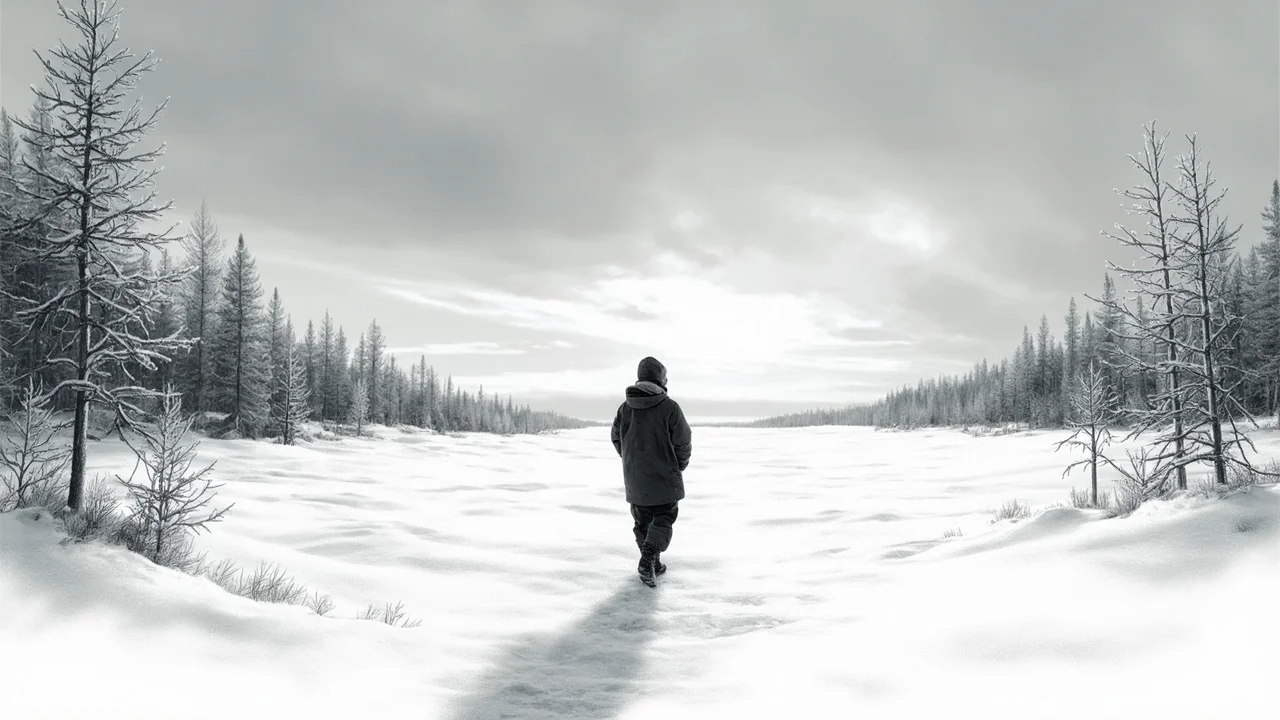
Such prolonged and intense cold has wide-ranging effects. Energy consumption for heating spikes, placing demand on power grids and leading to higher household costs. Transportation is disrupted, with increased risks for road safety and delays in public transit. For agriculture and forestry, the hard frost affects ground conditions and winter grazing. While Finns are accustomed to harsh winters, a predicted stretch near minus 30 degrees Celsius commands respect and preparation, turning weather forecasts into a crucial tool for daily planning and safety. The coming days will test infrastructure and personal readiness as the nation settles in for what appears to be a sustained and severe chapter of winter.