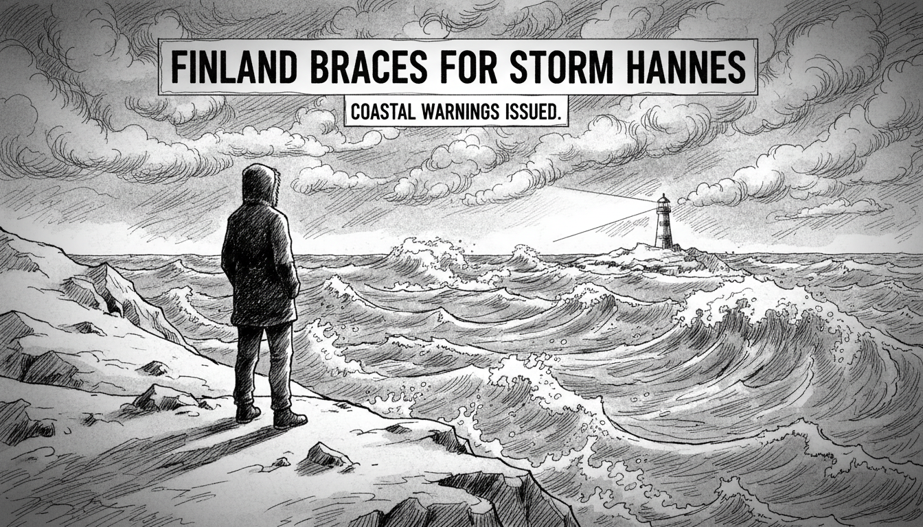
Finland weather forecasts are dominated by a single name: Hannes. The winter storm is making landfall today, with the Finnish Meteorological Institute (Ilmatieteen laitos) and private forecaster Foreca warning of severe conditions. The strongest winds are expected to arrive during the evening and the night leading into Sunday, bringing the risk of significant disruption and damage, particularly to coastal regions.
This is not an unusual event for a Finnish winter, but its timing and projected intensity have prompted official alerts. Storm-force winds are predicted for western sea areas and the northern parts of the Baltic Sea, creating hazardous conditions for maritime traffic. On land, the western and southwestern coastlines are in the direct path of the most powerful gusts. Residents in these areas are being advised to secure loose outdoor items, from garden furniture to trampolines, and prepare for potential power outages caused by falling trees or broken power lines.
A Nation Accustomed to Winter's Fury
Finland's relationship with severe weather is defined by preparedness. The infrastructure in cities like Helsinki, Turku, and Vaasa is built to withstand heavy snow and cold, but strong winds present a different set of challenges. They can turn snowfall into blinding blizzards, cause traffic chaos on exposed bridges and coastal roads, and disrupt ferry services in the Archipelago Sea. The Finnish Transport Infrastructure Agency (Väylävirasto) typically issues travel advisories, urging motorists to reconsider journeys and check road conditions before departing.
Meteorologists emphasize that while such storms are part of the seasonal pattern, each system has unique characteristics. "The core of the wind field with Hannes is quite concentrated," one expert noted in a briefing. "This means the most severe impacts will be localized to coastal areas, but even inland regions can experience strong, disruptive gusts as the low-pressure system moves across the country." The public is encouraged to monitor official channels for updates, as the track and intensity of such systems can shift slightly.
Coastal Communities on High Alert
The warning for wind damage along Finland's western and southwestern coasts is specific. This region, including cities like Pori and Rauma, faces the full force of winds coming off the Baltic Sea with no land barrier to slow them. Local rescue services often activate their preparedness plans ahead of such events, checking equipment and staffing levels in anticipation of emergency calls. The focus is on preventing damage before it occurs through public advisories.
Homeowners are advised to check their properties. This includes ensuring roof tiles are secure, clearing gutters of ice dams that could be lifted by the wind, and stowing away any seasonal decorations or equipment that could become airborne projectiles. The Finnish Red Cross and other organizations routinely remind citizens to have emergency kits ready, containing items like flashlights, batteries, a battery-powered radio, and essential supplies to manage for 72 hours if services are interrupted.
The Broader Baltic Sea Impact
The storm's effects extend beyond Finnish territory. Warnings for storm-force winds in the northern Baltic Sea have implications for international shipping and ferry routes between Finland, Sweden, and Estonia. Companies like Viking Line and Tallink Silja often adjust their schedules based on these forecasts, cancelling or delaying sailings to ensure passenger safety. The Gulf of Bothnia, in particular, can become treacherous during such events, with wave heights building rapidly.
This regional impact underscores the interconnected nature of Nordic weather systems. A storm named in one country often affects several, requiring coordination between meteorological institutes. The naming of storms themselves, a practice adopted to improve public awareness and communication, helps track these systems as they move across Northern Europe. Hannes will be a topic of concern not just in Finnish forecasts but in Swedish and Estonian ones as well.
Analysis: Preparedness in a Changing Climate
While Storm Hannes is a typical winter event, it occurs within a broader context of climate change discussion in Finland. The Eduskunta, Finland's parliament, has debated the increasing frequency and intensity of extreme weather events. Research from the Finnish Meteorological Institute suggests that while winter storms may not become more frequent, the warming Baltic Sea could potentially influence their intensity and the associated rainfall or snowfall patterns.
This places a greater emphasis on resilient infrastructure. The Finnish government's long-term planning includes considerations for adapting to a changing climate, which involves everything from reinforcing power grids to revising building codes in coastal zones. The response to a storm like Hannes is thus a real-time test of both immediate crisis management and the robustness of long-term planning. It highlights the balance Finland must strike between living with its harsh natural environment and preparing for its future evolution.
Looking Beyond the Weekend
The immediate concern is for the safety of people and property during the peak of the storm tonight and into Sunday. After the winds subside, the focus will shift to assessing damage, restoring any lost services, and clearing debris. For many Finns, the storm will be a brief, if disruptive, interlude in the winter—a reminder of nature's force that is met with characteristic pragmatism.
Yet, each event like Hannes contributes to the national experience and preparedness for the next one. The data collected on wind speeds, damage patterns, and response effectiveness informs future forecasts and public guidance. By Monday, the conversation may have moved on, but the lessons learned will remain, woven into the fabric of how this Nordic nation weathers its storms. The question is not if another will come, but when, and Finland's systematic, calm approach ensures it will be ready.