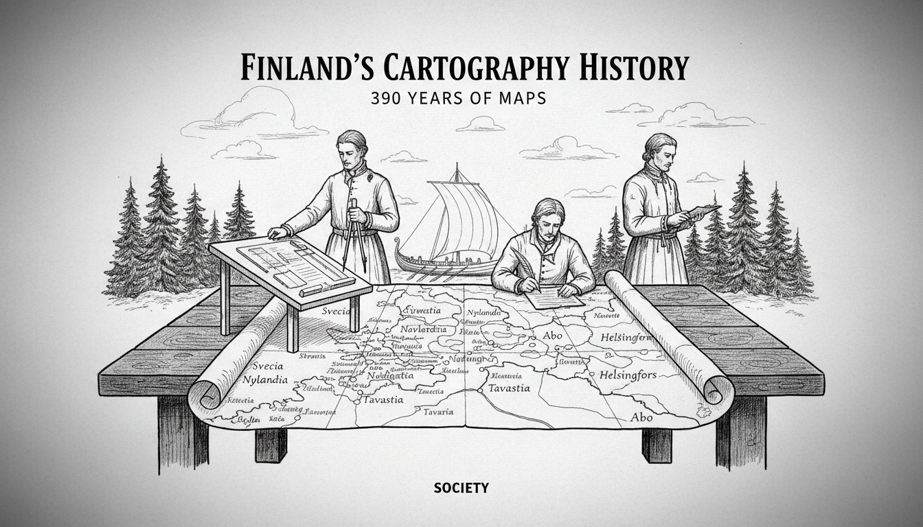
Finnish cartography history spans 390 years of evolution from mythical sea creatures to millimeter-precise satellite data. An exhibition at the Aalto2 museum in Jyväskylä traces this remarkable progression, revealing how maps not only documented Finland but actively constructed its regional identities. The story begins with the vast, misunderstood shape of Lake Päijänne, which served as the central landmark around which the region of Central Finland slowly coalesced on paper.
From Myth to Measurement
The journey into Finland’s mapped past starts with one of Europe’s most significant early cartographic works. Olaus Magnus’s Carta Marina, printed in Rome in 1539, was among the first detailed depictions of the Nordic region. It included the territory of Finland and featured Lacvs Piente – Lake Päijänne. “Carta Marina is a magnificent map where Finland begins to get its real shape for the first time,” explains Antti Jakobsson, a senior engineer from the National Land Survey of Finland. He notes the map’s dual nature, calling it “a combination of information and imagination.” The map was compiled from numerous travel accounts and sources, not from systematic measurement. Consequently, while Päijänne was known to exist, its exact size and location remained a mystery. “They knew Päijänne was there, but how large it was and where precisely it lay was uncertain,” Jakobsson remarks with a smile. This inaccuracy underscores a fundamental truth about early cartography: it represented the limits of contemporary knowledge and exploration as much as the landscape itself.
The Central Role of Lake Päijänne
For centuries, major lakes like Päijänne functioned as the primary orientation points in an otherwise densely forested and sparsely populated land. Rivers and lakes were the highways of pre-industrial Finland, making their accurate representation a practical necessity for travel, trade, and administration. The exhibition shows how Päijänne became the nucleus around which the concept of ‘Keski-Suomi’ or Central Finland began to form in the cartographic consciousness. Early Swedish-era surveyors, working for the crown, started the painstaking process of triangulation and chain measurement. Their work transformed the lake from a vague, misshapen blob on a 16th-century map into a defined geographical entity with political and economic significance. This process was slow. It required traversing difficult terrain and developing standardized techniques. Each improved map version strengthened the administrative control of the Swedish kingdom, facilitating tax collection, land dispute resolutions, and military logistics in its eastern territory.
The Science of Surveying Takes Hold
The 17th and 18th centuries marked a decisive shift from descriptive cartography to scientific surveying in Finland. Following the Great Northern War and the subsequent period of Russian rule, the need for accurate cadastral maps for land redistribution and taxation intensified. The establishment of dedicated surveying offices systematized the work. Exhibited tools, from simple compasses and measuring chains to more advanced theodolites, illustrate the technological progression. This era saw the birth of the first accurate large-scale maps of Finnish parishes and provinces. These were not merely pictures but legal documents that delineated property boundaries, forest lands, and waterways. The improvement in accuracy directly reflected the state’s growing capacity to govern its territory and resources. It also began to etch the borders of modern Finnish municipalities and regions onto the land itself, with Päijänne consistently serving as a central reference point.
Analysis: Cartography as Nation-Building
Expert analysis of this 390-year history reveals that mapping was a core component of Finnish state and nation-building. “Maps are never neutral. They are instruments of power, knowledge, and identity,” says a historian familiar with the exhibition themes. The progression from Carta Marina’s imaginative rendering to today’s digital Geographic Information Systems (GIS) tells a story of increasing precision and control. Early maps made Finland legible to foreign powers, first to Sweden and later to Russia. In the 19th century, as Finnish national consciousness awakened, detailed maps produced by Finnish surveyors became sources of national pride and tools for modernizing society. They were essential for infrastructure projects like canals and railways, and for managing the forestry industry that would become an economic backbone. The exhibition implicitly argues that Finland, as a governed entity, truly ‘came into being’ through the meticulous work of its surveyors. The known shape of Päijänne anchoring Central Finland is a perfect microcosm of this process: a natural landmark given administrative meaning through cartography.
The Modern Digital Landscape
The exhibition does not dwell solely in the past. It connects historical techniques to the present-day work of the National Land Survey of Finland (Maanmittauslaitos). Modern cartography uses aerial photography, satellite positioning, and laser scanning (LIDAR) to create models of the land with centimeter-level accuracy. These digital maps underpin everything from autonomous vehicle navigation and climate change modeling to urban planning and disaster management. The core purpose, however, remains unchanged from the 17th century: to create a reliable and authoritative representation of territory for the benefit of society. The digital maps of today continue to define and serve the region of Central Finland, with Päijänne’s precise contours now instantly accessible on any smartphone. This represents the culmination of a four-century quest for perfect geographical knowledge.
A Legacy Etched in Paper and Pixels
The ‘Surveying and Mapping in Finland’ exhibition at Aalto2 offers more than a history of technical methods. It provides a lens through which to view Finnish history itself. The 390-year narrative shows a country gradually defining itself, moving from a peripherally understood territory on the edge of European maps to a nation with one of the world's most sophisticated and publicly accessible spatial data infrastructures. From the mythical creatures of Olaus Magnus to the real-time topographic data of today, each map reflects the ambitions, capabilities, and worldview of its time. The enduring presence of Lake Päijänne throughout this story serves as a constant, reminding visitors that even as technology transforms, the fundamental relationship between people, their government, and the land they inhabit is often charted first on a map.