Iceland weather today features an Arctic air mass driving temperatures as low as -12°C in the northeast, according to the Icelandic Meteorological Office. Cold polar air originating over Greenland and a low-pressure system near Norway continue steering frigid conditions across the country, with frost persisting nationwide despite light winds and scattered precipitation.
Arctic Influence Deepens Over Iceland
The current weather pattern stems from high pressure over Greenland coupled with a developing low near the Norwegian coast. This configuration funnels cold Arctic air directly toward Iceland from the north and northeast. While wind speeds remain modest—generally between 5–13 meters per second—the persistent northerly flow ensures temperatures stay well below seasonal averages.
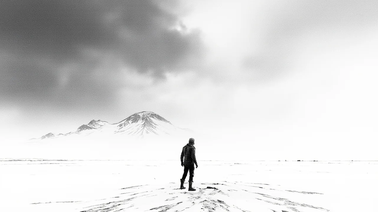
Inland and elevated areas, particularly in the northeast, recorded overnight lows of -12°C. Coastal regions fared slightly better but still experienced sub-zero readings. The capital region, including Reykjavík districts like Grafarvogur and Breiðholt, saw morning temperatures hover near -4°C, with icy patches forming on untreated roads and sidewalks.
Precipitation Patterns Shift Throughout the Day
Weather forecasts indicate changing precipitation trends across regions. Northern Iceland and the southeast coast face intermittent light snow or rain showers throughout Saturday, while the southwest and west remain mostly dry and partly cloudy. These conditions reflect the split influence of the approaching frontal system from the south and the entrenched cold air mass from the north.
"Easterly winds at 5–13 m/s will dominate, bringing minor precipitation to the southeast and east coasts," said a meteorologist in the latest forecast update. "Elsewhere, especially west of the central highlands, skies will stay largely clear. It remains cold, though frost eases slightly in southern areas."
Residents in coastal towns like Höfn and Seyðisfjörður reported flurries early Saturday morning, while Akureyri recorded steady cloud cover with no accumulation. In contrast, the Snæfellsnes Peninsula and Reykjanes saw bright intervals and calm conditions, offering brief relief from the pervasive chill.
Wind Picks Up Along Southern Coastlines
A notable shift is expected by Saturday evening, when stronger winds develop along the far south coast. Gusts may reach “hvöss” (strong) to “allhvöss” (very strong) levels—roughly 17–24 m/s—persisting into Sunday morning. This surge coincides with the approach of a more active low-pressure system moving up from the Atlantic.
While interior and northern regions remain under quiet, cold conditions, the southern shoreline braces for deteriorating visibility and blowing snow. Communities like Vík í Mýrdal and Kirkjubæjarklaustur are monitoring road conditions closely, as sudden wind-driven snow can reduce visibility on Route 1.
The Icelandic Road and Coastal Administration has not issued formal travel restrictions yet but advises caution for evening drivers, especially on exposed stretches between Selfoss and Landeyjahöfn. Localized drifting is possible where snow cover exists, though most southern lowlands remain relatively clear.
Temperature Trends Show Regional Disparities
Frost levels vary significantly by region, underscoring Iceland’s microclimates. The northeast—home to towns like Egilsstaðir and Möðrudalur—experiences the harshest conditions, with lows dipping to -12°C. Central highland stations, though unpopulated, recorded similar extremes, reinforcing the Arctic origin of this air mass.
Moving westward, temperatures climb incrementally. The capital area averaged -3°C to -5°C overnight, while the Westfjords saw milder readings near -2°C due to maritime influence. Southwestern valleys, including those around Hafnarfjörður and Garðabær, registered lows around -1°C, with patchy frost dissipating by mid-morning sun.
Despite the cold, daytime highs are expected to rise slightly above freezing in sheltered southern zones by Sunday afternoon. However, the broader outlook remains wintry, with no significant warm-up anticipated before midweek.
Nordic Weather Systems Shape Local Conditions
This event highlights how regional atmospheric patterns dictate Icelandic weather. The dual influence of Greenlandic high pressure and North Sea lows—a common setup in late autumn and early winter—creates direct pathways for polar air to sweep southward. Such configurations are typical during periods of weak jet stream activity, allowing cold domes to expand beyond the Arctic Circle.
Iceland’s position at the confluence of the Arctic and North Atlantic makes it especially sensitive to these shifts. While neighboring Nordic countries like Norway and Denmark experience milder maritime conditions, Iceland often bears the brunt of raw polar outbreaks due to its exposure and elevation.
Meteorologists note that this pattern aligns with historical norms rather than anomalous behavior. Still, the intensity of localized frost—particularly in agricultural zones like Flúðir and Laugarvatn—raises concerns for early-season crop protection and livestock management.
Read more: Arctic Fish Forecasts 78% Salmon Output Jump in Iceland.
Read more: Iceland Party Excludes Candidate Over Trust Issues.