Iceland faces a sharp north-south weather divide this weekend, with snow and sleet forecast for northern regions while Reykjavik and the southwest enjoy dry, bright conditions. The Icelandic Meteorological Office predicts northerly winds between five and thirteen meters per second for Friday, setting the stage for distinctly different experiences across the country's varied landscapes.
A Nation Divided
Friday's forecast establishes a clear pattern. The southwest, including the capital region, is set for dry and bright weather. Temperatures here will hover around freezing, between zero and five degrees Celsius. In stark contrast, the northeastern parts of the country, from the Northeast constituency to areas around Akureyri, are bracing for snowfall. Other regions can expect sleet, a mix that will impact travel and daily routines outside the sheltered southwest corner. This split is a classic Icelandic winter scenario, dictated by wind direction and topography.
Weekend Outlook and Regional Breakdown
The dividing line holds firm into Saturday, though conditions begin to shift. Northerly winds will persist but become lighter. The northern half of the island should still anticipate snow or sleet, while southern areas remain dry. Temperatures will stay near the frost mark nationwide, a key detail for road crews and residents dealing with icy conditions. The calm is temporary, as change is on the horizon for the latter part of the weekend.
By Saturday afternoon and evening, the weather maps indicate a significant shift. Winds are forecast to turn to the southeast and gradually increase. This shift will bring a warming trend across Iceland. However, the Meteorological Office notes that significant rain is not expected to reach the south and west coasts until late Saturday night or Sunday itself. This transition period could see thawing and slippery conditions as temperatures rise above freezing.
Transport and Infrastructure on Alert
This forecast has immediate implications for Iceland's infrastructure. The Public Roads Administration will be focusing resources on clearing and gritting primary routes in the north, particularly the Ring Road stretches through the Northeast. Mountain roads and passes in the central highlands will see hazardous winter conditions. In Reykjavik and the south, while roads may be clearer, residents are advised to watch for black ice during the morning frost periods. Keflavik International Airport typically remains operational during such patterns, but travelers connecting to domestic flights to northern towns like Akureyri or Egilsstaðir should check for potential delays due to snowfall.
Local municipalities are activating their winter response plans based on this forecast. In northern districts, snowplow operators are on standby. In the south, drainage teams are preparing for the eventual rain expected on Sunday, ensuring gutters and drains are clear to handle the meltwater and precipitation. The variable conditions underscore the logistical challenge of maintaining connectivity across a country where weather can change dramatically within a fifty-kilometer drive.
The Science Behind the Split
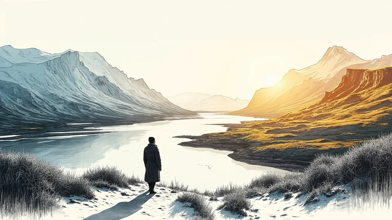
The driving force behind this weekend's weather is a persistent northerly airflow. This carries colder air from the Arctic region down over Iceland. When this air mass meets the country's mountainous terrain, particularly the highlands, it is forced upward. This lifting causes the moisture in the air to condense and fall as precipitation. On the windward northern and eastern sides, this manifests as snow. The southwestern corner, including Reykjavik, lies in the rain shadow of these mountains, receiving drier and often clearer conditions when winds come from the north or northeast. This fundamental orographic effect is a recurring theme in Icelandic meteorology.
The forecasted shift to southeasterly winds by late Saturday represents a major change in the air mass source. Instead of Arctic air, the winds will begin pulling milder, moister air from the Atlantic. This is why a warming trend and eventual rain are predicted. These shifts can be abrupt, sometimes turning a snowy landscape into a slushy one within a matter of hours, presenting a different set of challenges for transportation and safety.
Longer Range Uncertainty
While the forecast for the next 48-72 hours is detailed, uncertainty grows early next week. The Meteorological Office's statement highlights that the weather charts show little activity for the first part of Saturday, but conditions become more dynamic thereafter. The key questions for early next week involve the strength and duration of the southeasterly flow. Will it bring sustained rain and a rapid thaw, or will it be a brief interlude before colder air returns? This uncertainty is typical and requires the public to stay updated with the latest forecasts beyond the weekend.
Residents and visitors are advised to use reliable sources for real-time information. The Safe Travel website provides up-to-date road conditions across the entire country. The Icelandic Meteorological Office updates its detailed regional forecasts multiple times daily. For those in rural areas or planning travel, checking these resources frequently is essential, as localized conditions in fjords or valleys can differ from the broader regional picture.
Looking Ahead
This weekend's weather pattern serves as a reminder of Iceland's dynamic climate. The nation's infrastructure and daily life are built around an expectation of such variability. From the fishing fleets in the northern towns of Dalvík or Siglufjörður, who must account for sea state and wind, to the tour operators in Reykjavik adjusting outdoor itineraries, the forecast is a fundamental planning tool. The clear north-south split encapsulates the Icelandic winter experience: relentless and challenging in one region, manageable and bright in another, with the knowledge that it can all change with the next shift in the wind.