Iceland's groundwater mapping for the Reykjanes Peninsula reached 30% of known sources this year through a single student project. That project earned geology student Alexandra K. Hafsteinsdóttir the President's Award for Innovation in a ceremony at Bessastaðir today. The award recognizes outstanding student work funded by the Student Innovation Fund.
President Halla Tómasdóttir presented the award, which included a LAVA vase made from recycled glass. "The award is given to those students who have done outstanding work on projects supported by the Student Innovation Fund in 2025," a government statement said. The fund operates under the Ministry of Culture, Innovation and Higher Education.
A Ceremony at Bessastaðir
The formal presentation highlighted the government's focus on practical environmental science. Alexandra's project directly addresses a known data gap in a region facing intense geological activity and development pressure. Her work involved measuring conductivity and analyzing anions in freshwater across the peninsula while developing procedures for a new electric water pump.
“This isn’t just academic work,” said one Althing member familiar with the project, speaking on background. “Knowing exactly where our pure water is and how it moves is foundational for everything from municipal planning in Reykjavík's surrounding areas to protecting the fishing industry in Grindavík.” The mapping provides a critical baseline for managing the peninsula's resources.
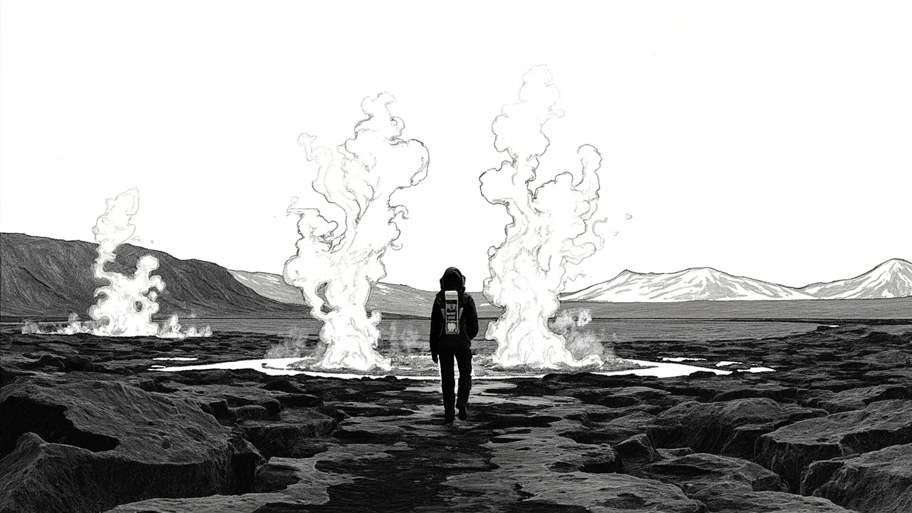
The Reykjanes Water Puzzle
The Reykjanes Peninsula is a geologically volatile region marked by recent volcanic eruptions and significant geothermal energy exploitation. Groundwater there interacts with complex volcanic systems and seawater intrusion risks. Accurate maps of freshwater currents are essential for sustainable use, especially as the region expands its geothermal electricity production for the national grid.
Alexandra's methodology offers a replicable model for other regions. By systematically testing water conductivity and ion content, she can infer flow paths and source origins. This data is vital for environmental impact assessments required for new geothermal plants or industrial projects. It also helps monitor potential contamination from existing infrastructure.
Broader Nordic Environmental Context
This type of foundational mapping aligns with broader Nordic cooperation on environmental data. Norway and Sweden have extensive groundwater monitoring programs, and Iceland's contribution enhances regional climate resilience models. Shared data protocols allow scientists to compare aquifer behaviors across the Scandinavian Shield and Iceland's younger geology.
The award underscores a shift toward supporting applied environmental science within Icelandic universities. The Student Innovation Fund specifically targets projects with clear practical applications. This focus mirrors priorities in other Nordic nations where student research is often integrated directly into municipal or national planning processes.
Other Recognized Projects
Alexandra's project was not the only one honored. The award ceremony also recognized work by students in architecture, food science, and design. ‘Efnisheimar’, by Bjarki Þór Wíum Sveinsson and Gísli Hrafn Magnússon, architecture students at the Iceland University of the Arts, explored material use.
‘Lífkol: brú milli fiskeldis og landbúnaðar’, by Ásdís Öglu Sigurðardóttir, a food science student at the University of Iceland, examined links between aquaculture and agriculture. The project ‘TENGJA’, by design students Janek Beau, Max Greiner, Katla Taylor, and Tumi Valdimarsson, focused on utilizing waste water from district heating for public benefit.
The Value of Baseline Data
For local authorities in municipalities like Reykjanesbær and Grindavík, the new groundwater maps are a tool for future decisions. Zoning for new housing developments, protecting sensitive ecosystems, and allocating industrial water rights all depend on understanding subsurface water movements. Previous planning often relied on estimates or incomplete datasets.
The fishing industry, a cornerstone of the peninsula's economy, requires plentiful fresh water for processing. Ensuring this supply is secure and uncontaminated is a direct economic concern. The mapping project helps identify which sources are most resilient and which might be vulnerable to saltwater intrusion or pollution runoff.
A Focus on Practical Outcomes
The selection of these award winners points to a clear preference for projects with tangible results. Instead of purely theoretical research, the Innovation Fund backed work that produces maps, prototypes, and direct analyses. This approach is frequently debated in the Althing, with many members advocating for education that feeds directly into Iceland's key economic and environmental sectors.
Geology graduates with field experience in projects like Alexandra's are highly sought after by Iceland's energy and water management sectors. The skills developed – precise measurement, data analysis, and reporting – match industry needs. This creates a direct pipeline from academic funding to professional employment within Iceland.
The Path Forward for Reykjanes
Alexandra's project covered a significant portion of the peninsula, but work remains. Expanding the mapping to cover 100% of known sources would create a complete hydrological model. Such a model could predict how water tables might change with future volcanic events or increased extraction for a growing population.
Future student projects could build on this baseline by adding temporal data, showing how water quality and flow change seasonally or in response to specific events. Long-term monitoring is the logical next step, potentially creating a multi-year dataset funded through a combination of university, government, and industry grants.
The President's Award brings visibility to this quiet but essential work. It signals that meticulous data collection is a form of national innovation. In a country where water is both a critical resource and a potential geological hazard, knowing exactly what flows beneath the ground is not just science—it's a necessity for sustainable development. The question now is how quickly this new data will be integrated into the peninsula's official land-use and resource management plans.