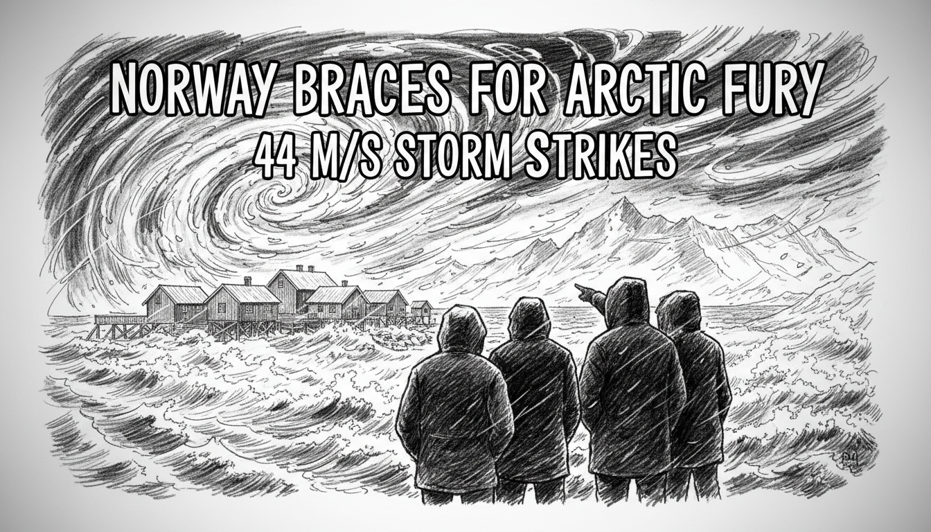
Norway's Meteorological Institute has issued an urgent orange warning for a severe Arctic storm, with hurricane-force winds targeting the vulnerable northern coastline. The alert, upgraded from yellow, forecasts gusts of 35-44 meters per second for Nordland, Lofoten, Vesterålen, and Salten from late Friday into Saturday. Meteorologists warn the public to prepare for dangerous conditions and avoid all unnecessary travel in exposed areas as the system intensifies.
A Coastline on High Alert
Residents across northern Norway are securing boats, battening down property, and heeding official advice as the storm approaches. The warning is specific and severe. "In exposed areas, people should be prepared and preferably avoid outdoor activity," said Halldis Berge, the duty meteorologist at the Norwegian Meteorological Institute. "Follow local messages and advice from the authorities." The forecast indicates the strongest winds will first hit the iconic Lofoten archipelago, with its chain of mountainous islands directly in the path of the northwesterly gales, before moving into Vesterålen and the Salten region. Coastal communities in these areas are accustomed to harsh weather, but an orange warning signifies a threat requiring immediate and specific precautions from the public.
The geography of this region makes it particularly susceptible to powerful wind events. The collision of the warm Gulf Stream with cold Arctic air over a fractured coastline of fjords and steep peaks creates a perfect engine for intense low-pressure systems. The predicted wind speeds of 35-44 m/s (79-98 mph) fall squarely within the definition of a full storm, with the upper range touching hurricane-force levels. Such winds can lift roof tiles, topple trees and power lines, and generate enormous, damaging waves along the shore.
Infrastructure and Travel Facing Major Disruption
This storm's impact will extend far beyond coastal villages, testing Norway's national infrastructure. The national road authority, Statens vegvesen, routinely closes mountain passes and exposed coastal roads like the E10 through Lofoten when winds exceed safe limits. Ferry services along the Hurtigruten coastal route and local commuter lines are almost certain to experience cancellations or significant delays, severing critical transport links for isolated communities. Aviation is also vulnerable; flights at regional airports like Harstad/Narvik, Bodø, and Leknes are highly likely to be disrupted or grounded as crosswinds exceed operational safety thresholds.
The energy sector is on standby. While Norway's offshore oil and gas platforms in the Norwegian Sea are engineered to withstand extreme conditions, operational adjustments are standard procedure. The greater concern lies with onshore power distribution. The regional grid, operated by companies like Statnett, faces the risk of widespread outages if lines are downed by falling trees or debris. Municipalities have emergency protocols, but remote farms and homes could be isolated for extended periods if roads become impassable and power fails. Historically, storms of this magnitude have caused millions of kroner in damage to public and private property, a cost that local and national governments must shoulder in the aftermath.
The Science Behind the Warning
The upgrade from a yellow to an orange alert is a significant escalation in the Norwegian warning system. A yellow warning advises the public to be aware and plan for potentially hazardous weather. An orange warning, however, means dangerous weather is expected, with the potential for significant damage, travel chaos, and risk to personal safety if precautions are not taken. The red level, rarely used, indicates an extreme event demanding immediate action for preservation of life and property. The Meteorological Institute's decision to issue orange reflects high confidence in forecast models showing a deep low-pressure system deepening rapidly—a process known as explosive cyclogenesis—as it moves across the Norwegian Sea.
Climate scientists note that while fierce autumn and winter storms are a feature of Norway's climate, research points to a trend of increasing precipitation intensity and a potential northward shift in storm tracks. The resilience of coastal infrastructure, much of it built along dramatic and vulnerable shorelines, is becoming a more pressing topic for planners. This storm serves as a real-time test of both public preparedness and the durability of critical systems in the face of nature's power.
Local Response and Historical Context
For locals, the routine of storm preparation is a familiar one. Fishermen in harbors from Svolvær to Bodø are adding extra mooring lines and fenders. Homeowners are securing outdoor furniture, checking generators, and ensuring they have adequate supplies. The community response is often characterized by a practiced calm, born of generations living in one of Europe's most dramatic and challenging environments. However, authorities stress that complacency is dangerous. The force of a storm surge or a falling tree is unforgiving.
Historical events loom in memory. The New Year's Storm of 1992, which ravaged much of the same coastline with winds exceeding 50 m/s, caused catastrophic damage and remains a benchmark for extreme weather. More recently, storms like "Diana" in 2017 have caused significant disruption. Each event provides lessons that are incorporated into improved warning systems and public advice. The current digital infrastructure, with detailed forecasts available on the Yr website and app, allows for more precise warnings and faster dissemination than ever before, a tool that authorities are actively using to manage this event.
Looking Ahead: A Nation Waits and Watches
As the wind begins to rise along the Nordland coast Friday evening, the country's attention turns northward. The storm's progression will be monitored minute-by-minute by meteorologists in Oslo. For the residents in its path, the coming hours will be a period of vigilance. The key advice remains clear: stay indoors, avoid travel, and monitor official channels. The true test will come in the darkness of the early morning hours, when the storm is predicted to reach its peak intensity. The hope is that preparedness will limit the impact, but the power of an Arctic storm on the Norwegian coast is a formidable force. The clean-up and assessment will begin as the winds abate on Saturday afternoon, revealing what the sea and the sky have left behind.