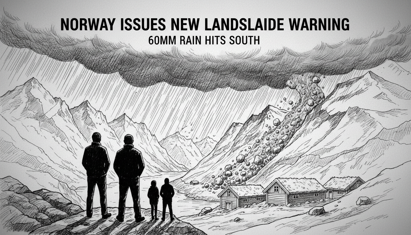
Norway's southern counties of Rogaland and Agder are under a renewed yellow-level landslide and flood warning, with forecasters predicting up to 60 millimeters of rain overnight. The Norwegian Water Resources and Energy Directorate (NVE) issued the alert, which is active from 9 PM Thursday until 7 AM Friday, citing dangerously high groundwater levels and soil saturation from recent storms. This latest warning compounds an already tense situation following severe flooding earlier in the week, forcing municipalities like Sokndal to maintain emergency preparedness levels.
A Saturated Landscape Braces for More
The warning is not for a new, isolated event but for an escalation of an ongoing crisis. The ground in Rogaland and Agder is already waterlogged from persistent autumn rainfall. Hydrologists describe the soil as having reached its absorption capacity. When an additional 50 to 60 mm of rain falls on such saturated ground, the water has nowhere to go but over the surface, leading to rapid runoff into streams and rivers. This dramatically increases the risk of both flash flooding and landslides, where the weakened soil on steep slopes can give way. The NVE's warning explicitly states that floodslides, a mix of water, soil, and debris, can travel long distances from their origin point high in the terrain down to valley floors, posing a threat even to areas not directly beneath the initial slip.
Local authorities have echoed the NVE's public safety advice. Residents are urged to stay away from steep slopes, riverbanks, and creek beds with high water flow. The recommendation is particularly critical during the overnight hours when visibility is poor and the intensity of the rainfall is expected to peak. This proactive public messaging is a cornerstone of Norway's approach to natural hazard management, aiming to prevent casualties through awareness and precaution.
The Science Behind the Yellow Alert
Norway's system for natural hazards uses a color-coded scale: green for no danger, yellow for moderate danger requiring awareness, orange for significant danger requiring preparedness, and red for extreme danger requiring action. A yellow warning, like the current one, indicates a situation that is dangerous for those who expose themselves to risk or are in particularly vulnerable areas. It signals to the public, municipal crisis teams, and infrastructure operators that conditions are deteriorating and vigilance is required.
Geologists point to the region's topography as a key risk factor. Rogaland and Agder are characterized by deep fjords, steep valleys, and countless waterways—a landscape carved by ice and water over millennia. While stunning, this terrain is inherently prone to slides when water saturation is high. The risk is not uniform; it is concentrated on slopes with certain soil types, vegetation cover, and historical slide activity. The NVE's models incorporate these factors alongside real-time rainfall and groundwater data to generate targeted warnings.
“The sequence of weather systems is the real concern here,” explains a hydrologist familiar with the region. “We aren’t looking at a single storm. We’re looking at repeated battering. The first flood event this week primed the system. It filled the soil and raised river levels. Now, this new rainfall is hitting a system that is already at its limit. The hydrological response will be faster and more severe than if the ground were dry.”
Municipal Readiness in the Face of Repeated Threats
The human and administrative response to these repeated warnings reveals the operational side of Norway's disaster preparedness. In Sokndal, a municipality in Rogaland heavily affected by earlier flooding, officials have decided not to stand down their emergency response teams. Instead, they are maintaining a state of readiness, anticipating that the new rainfall could exacerbate existing problems or create new ones. This decision reflects a pragmatic approach to crisis management, where the cost of maintaining alertness is weighed against the potential cost of being caught unprepared.
Municipalities in the warning zone are likely activating their contingency plans. This involves checking in on vulnerable infrastructure like roads and bridges, ensuring drainage systems are clear, and confirming communication lines with emergency services. For residents, it means securing loose outdoor items, ensuring drainage paths around properties are unobstructed, and having an emergency kit ready. The goal is not to induce panic but to promote a state of informed preparedness.
Norway's extensive experience with similar weather-related hazards has led to a highly developed monitoring and warning infrastructure. The NVE operates a network of hydrological and meteorological stations across the country. Data from these stations feeds into sophisticated models that predict river levels and landslide probability. This system allows authorities to issue warnings with lead times of hours or even days, a critical window for preventive action.
The Broader Context of a Changing Climate
While individual weather events cannot be directly attributed to climate change, scientists note that the patterns observed in Norway align with broader projections for a warming world. A warmer atmosphere holds more moisture, which can lead to more intense precipitation events. For a country like Norway, with its complex terrain and population centers often located in flood- and slide-prone areas, this presents a long-term strategic challenge.
The recurring nature of this autumn's warnings—multiple significant rainfall events in quick succession—is a scenario climate models suggest may become more frequent. This puts pressure not only on emergency response systems but also on long-term land-use planning, infrastructure design, and insurance models. How to build and live resiliently in a landscape that is becoming more dynamically hazardous is a question facing planners from local councils to the national government in Oslo.
Living with the Land's Moods
For Norwegians in regions like Rogaland and Agder, a certain awareness of natural hazards is part of life. The relationship with the dramatic landscape is one of respect. The very fjords and mountains that define the region's beauty and provide resources like hydropower and tourism also dictate its vulnerabilities. Heeding yellow warnings is a normalized part of this coexistence. It involves adjusting plans, avoiding certain recreational areas, and paying closer attention to local news and official channels.
The effectiveness of this system is measured in avoided disasters. A successful outcome from this yellow warning period would be one with no loss of life, minimal property damage, and disruptions managed efficiently by prepared authorities and a heedful public. It represents a model of risk communication and public cooperation, where technical data from the NVE is translated into practical advice and actionable steps for communities.
As the rain falls through the night over Rogaland and Agder, hydrologists will watch river gauge data, municipal emergency teams will remain on standby, and residents will hope the saturated hillsides hold. The yellow warning is a statement of probability and risk, a calculated forecast of nature's force. The response to it is a testament to a society's effort to understand, respect, and adapt to the powerful environment it calls home. Will this be the storm that pushes the landscape past its tipping point, or just another severe night in a long, wet autumn? By morning, the answer will be written in the mud and water.