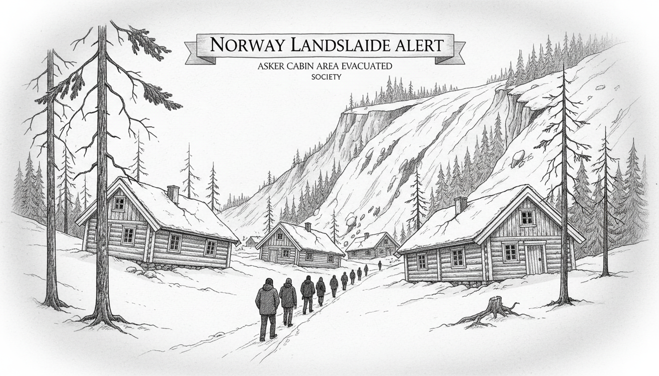
Norway landslide risks have again come into focus after a minor earth movement at a cabin area in Asker. Police confirmed the event at the Hyggen recreational property zone, southwest of Oslo, on Tuesday. Initial assessments found no injuries or direct property damage, but authorities immediately cordoned off the site for investigation. This incident, though small, triggers a significant response protocol in a country where unstable terrain threatens thousands of homes.
A Nation Built on Unstable Ground
Landslides are a persistent and growing threat across Norway. The country's dramatic topography, combined with clay and quick clay soils prevalent in regions like Viken county, creates inherent instability. Climate change intensifies this risk, with increased precipitation and more frequent extreme weather events saturating the ground. The Norwegian Water Resources and Energy Directorate (NVE) maintains a national landslide database, mapping thousands of identified risk zones. The area around the Oslofjord, including Asker, is particularly noted for historical quick clay landslides, which can liquefy and flow without warning.
“Every event, no matter how small, is a data point and a warning,” said Dr. Ingrid Hjelstuen, a geohazards researcher at the University of Oslo. “We assess the soil composition, drainage patterns, and slope angle. In cabin areas, human activity like excavation, water runoff from paths, and vegetation removal can also be contributing factors that we must investigate.”
The Immediate Response in Hyggen
Upon notification, Asker police and municipal crisis teams moved quickly to secure the Hyggen site. Their primary mandate was to ensure no residents were in immediate danger and to prevent access to potentially unstable ground. “We are conducting investigations on site and implementing necessary cordons,” the police operations manager said in a statement. This standard procedure allows geotechnical experts safe access to begin their forensic work.
The cabin areas, or hyttefelt, represent a core part of Norwegian leisure culture but often sit in precisely the scenic, rugged landscapes most vulnerable to natural hazards. Municipalities like Asker face the complex task of balancing public access to nature with stringent safety regulations. Building codes in designated risk zones are strict, but many older cabins predate modern geotechnical understanding.
The Bigger Picture: Policy and Preparedness
This minor slide occurs against a backdrop of heightened national attention on landslide risk. The devastating 2020 quick clay landslide in Gjerdrum, which claimed ten lives, led to a major overhaul of Norway's geohazard management. The government subsequently allocated billions of kroner to a national mitigation program, funding detailed mapping, early warning systems, and preventative measures like ground stabilization.
The Norwegian Parliament, the Storting, has pushed for faster implementation of risk mitigation plans. “Safety must come before property rights when the science is clear,” said Maren Grøthe, a member of the Storting’s Energy and Environment Committee. “The challenge is that the cost of securing or relocating buildings in risk zones is enormous, and the responsibility is shared between state, municipality, and individual homeowners.”
For homeowners in areas like Hyggen, a landslide event—even a minor one—can have severe consequences beyond physical damage. It can trigger a formal risk assessment by the NVE, potentially leading to a red classification that prohibits all use of the property, effectively rendering it worthless without costly preventative work.
Expert Analysis: More Than Just Bad Luck
Geotechnical engineers examining the Asker site will look beyond recent weather. “We piece together a historical narrative of the slope,” explained Lars Fjellstad, a consulting engineer specializing in slope stability. “We look at old maps, aerial photos, and drainage patterns. A small slide can be a precursor, indicating subsurface water movement or progressive failure. Our job is to determine if this is an isolated incident or a symptom of a larger, unstable area.”
Preventative measures can include installing surface and subsurface drainage to divert water, building retaining walls, or using soil nailing and anchoring to reinforce a slope. In extreme cases, the only safe recommendation is the complete evacuation and demolition of buildings in the hazard path. The economic and emotional toll of such decisions is high, especially for family cabins that have been in possession for generations.
Living with Risk in the Norwegian Landscape
The incident in Asker is a microcosm of a national dilemma. Norwegians cherish their right to access remote, beautiful nature, a principle known as allemannsretten. Yet, the places they build their cabins are often the most geologically dynamic. Climate models predict wetter winters and more intense summer rainstorms for Southern Norway, increasing groundwater pressure and the likelihood of slope failure.
Municipal master plans are now required to integrate detailed hazard zoning, limiting new construction in red zones. However, addressing existing structures in the path of potential landslides remains a legal and financial quagmire. Insurance companies are also increasingly scrutinizing geological reports before providing coverage, adding another layer of complexity for property owners.
A Look Ahead: Vigilance as the New Normal
While the Hyggen event concluded without tragedy, it serves as an operational drill for emergency services and a stark reminder for the public. The Norwegian Directorate for Civil Protection (DSB) continuously advises residents in hilly or coastal areas to be alert for warning signs: new cracks in the ground or on buildings, doors or windows that suddenly jam, or unusual sounds like rumbling from the terrain.
The government’s long-term strategy hinges on better prediction. This includes investing in advanced monitoring technology like InSAR satellite radar, which can detect millimeter-scale ground movement over vast areas, potentially providing early warnings months or years before a catastrophic failure.
For now, the cordons in Asker will remain until experts give the all-clear. The quiet hillside, once a place of recreation, is temporarily a scientific laboratory where data is gathered to assess the stability of the ground beneath. In Norway, the relationship with the land is deep and fundamental, but it is a relationship that requires constant, careful negotiation. As the climate shifts, the ground beneath their feet is, quite literally, moving. The question facing communities from Asker to Alta is not if they can stop the slides, but how wisely they can learn to live with them.