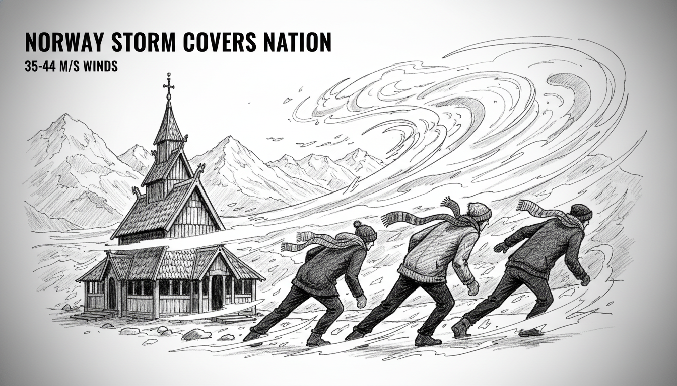
Norway's Meteorological Institute has issued severe weather warnings covering nearly the entire country. An intense storm system is moving across the Nordic nation, bringing destructive winds expected to reach hurricane force in exposed coastal areas. The agency escalated its alert to an orange warning, the second-highest level, for the counties of Nordland and parts of Troms.
"We expect extensive consequences in Nordland and the southern parts of Troms," said Pernille Borander, the meteorologist on duty at the Meteorological Institute. "It is safe to say that almost the entire country is covered by warnings." The orange warning signals "very strong gusts of wind" forecast between 35 and 44 meters per second from the northwest and north. The strongest winds are predicted for the Lofoten, Vesterålen, and Salten regions. Wind speeds will increase overnight Friday into Saturday before decreasing by Saturday afternoon.
A Nation Braced for Impact
The scale of the warnings is notable. Beyond the orange alert zone, yellow warnings for strong wind gusts are in effect for Innlandet, Trøndelag, Helgeland, and parts of Salten, Troms, Vest-Finnmark, and Finnmarksvidda. A separate yellow warning for snow flurry, or snøfokk, is active for Øst-Finnmark. This combination of heavy snow and fierce wind creates near-zero visibility and rapid drifts. Authorities urge the public to avoid travel in exposed areas, secure loose objects, and prepare for significantly longer journey times. Roads may close due to fallen trees or debris, and transportation by sea and air faces likely cancellations.
Power companies are on high alert. Elvia, the grid operator in Innlandet, has escalated its preparedness to handle potential widespread outages. "We are monitoring the situation closely and increasing staffing out in the field and in the operational center," a company spokesperson said. "When strong wind is forecast, we are extra prepared for trees falling across power lines and electricity outages." The storm will be particularly felt in Northern Norway but will also be noticeable north of Innlandet and even south of Lake Mjøsa, indicating its far-reaching influence.
Why Norway Faces Such Fierce Storms
Norway's geography makes it uniquely vulnerable to powerful Atlantic weather systems. Its long coastline, deep fjords, and mountainous terrain act as a funnel and amplifier for winds rolling in from the ocean. The collision of maritime air masses with the steep landscape often intensifies low-pressure systems, leading to the extreme conditions now forecast. The northern regions, like Nordland and Troms, bear the brunt of these storms more frequently, but events capable of triggering nationwide warnings are less common. The Meteorological Institute's robust forecasting network is critical for early warnings, giving communities and critical services crucial lead time to prepare.
Dr. Helge Drange, a professor of climate dynamics at the University of Bergen, explains the broader context. "While individual storms are part of natural variability, the patterns we observe align with climate projections for the North Atlantic," he notes. "A warmer ocean surface can add more energy and moisture to weather systems. This doesn't necessarily mean more storms, but it can contribute to the intensity of the strongest ones we see." This storm arrives during a period where Norwegian meteorologists and climate scientists are closely studying shifts in seasonal weather patterns and extreme event frequency.
Practical Advice and Safety Measures
For residents in the affected areas, the warnings translate into specific actions. The public advice is clear and practical. Securing garden furniture, trampolines, and any loose items is a primary step to prevent them from becoming dangerous projectiles. People are advised to park vehicles away from trees and buildings that could shed tiles or panels. For those who must travel, checking road conditions through the Norwegian Public Roads Administration (Statens vegvesen) is essential, as is having an emergency kit in the car with warm clothing, food, and a charger.
Coastal communities face the dual threat of wind and high waves. The warnings explicitly mention the danger of waves hitting land, which can cause erosion and damage to infrastructure near the shore. Fishermen and recreational boaters are strongly advised to stay in port. For hikers and outdoor enthusiasts, the message is unequivocal: postpone plans. The risk of sudden weather deterioration, whiteouts from snow flurry, and falling branches in forested areas is too high.
The Role of Technology and Public Communication
Disseminating accurate, timely information is a key part of Norway's storm response. The Meteorological Institute's website and Yr app are the primary official sources, providing real-time updates, radar imagery, and detailed forecast maps. Local municipalities activate their emergency communication channels, often using SMS alerts to residents in the most vulnerable zones. This digital infrastructure ensures that even in remote areas, people can access the latest warnings.
The effectiveness of this system relies on public trust and habitual use. Norwegians are generally well-versed in checking weather forecasts, a necessary habit in a country with such dynamic conditions. The clear, color-coded warning system—yellow, orange, and red—helps people quickly gauge the severity of an incoming event. An orange warning, like the one currently active, signals that the weather is considered dangerous and that there is a significant risk of damage and disruption to utilities and transport.
Looking Ahead: Saturday and Beyond
The peak of the wind event is expected from late Friday night through Saturday morning across the north. Conditions will gradually improve from the west during Saturday afternoon. However, the aftermath may linger. Clean-up operations for fallen trees and debris will begin as soon as it is safe for crews to operate. Power restoration efforts could take time, especially in remote areas where access is difficult. Travelers across Norway should expect continued disruptions to ferries and flights throughout Saturday, even after winds subside, due to cascading delays and necessary safety inspections.
This storm serves as a potent reminder of nature's force in Scandinavia. It also demonstrates the integrated response required from forecasters, grid operators, transport agencies, and the public. The coming hours will test these preparations. For now, the nation watches, waits, and prepares as the wind begins to howl across its mountains and fjords. Will this event become another case study in resilience, or a warning of storms to come in a changing climate?