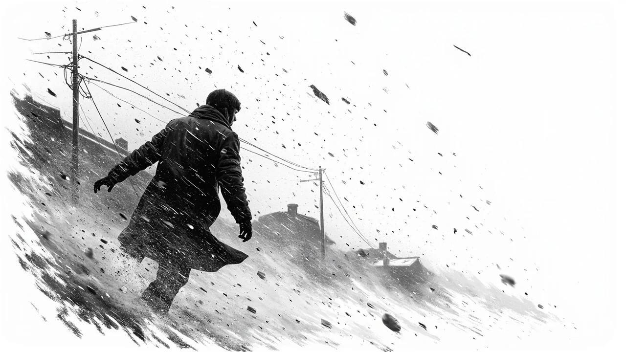
Norway’s Meteorological Institute has issued severe orange and yellow weather warnings for heavy snow and powerful winds expected to strike the country from Sunday night. Southern Norway faces up to 40 centimeters of snow within 24 hours, while western coastal regions brace for wind gusts reaching 33 meters per second. This significant weather system poses a major threat to transportation and power infrastructure as the new work week begins.
Meteorologist Pernille Borander, the duty forecaster, provided a stark assessment. 'If you want to enjoy the snow, you must do it today,' Borander said. The low-pressure system bringing the snow will later introduce milder air, turning precipitation to sleet in western Agder by Monday afternoon. This shift increases the risk of heavy, wet snow accumulating on power lines and trees.
Widespread Disruption Expected
The orange warning for snow is concentrated in Agder, with a broader yellow warning extending into parts of Telemark. The entire mountain region of Southern Norway is under a snowdrift warning. Roads, particularly mountain passes, face a high likelihood of sudden closures or mandatory convoy driving. Reduced visibility from blowing snow will compound the dangers for motorists.
Simultaneously, a yellow wind warning covers the entire Vestlandet coast, impacting Møre and Romsdal and Trøndelag. Gunhild Anett Naas, the emergency preparedness chief for Møre and Romsdal, is closely monitoring developments. 'With a yellow warning, the wind can lead to closed roads and cancelled ferry departures,' Naas stated. She urged residents to secure loose outdoor items that could become hazardous projectiles.
Critical Infrastructure on Alert
Power companies across the affected regions have activated their preparedness protocols. Nils Tore Augland, communications chief for grid operator Glitre Nett, which covers Buskerud and Agder, confirmed their readiness. 'We follow the weather forecasts carefully and continuously,' Augland said. 'When a warning is issued across the region, we alert technicians and line clearers in the area so they are prepared and can deploy at short notice if we experience challenges with the power supply.'
The primary concern is that high winds could blow trees into high-voltage power lines, causing localized blackouts. The combination of heavy, wet snow and strong winds creates a perfect storm for power outages, threatening everything from home heating to critical services. Utility crews are prepositioning resources to enable a swift response to any failures.
Commuter Chaos and Safety Pleas
With the storm peaking overnight into Monday morning, the impact will directly clash with the Monday commute. Emergency officials are pleading with the public to exercise extreme caution. The public advice is unambiguous: check road reports, allow substantial extra travel time, and be prepared for sudden route changes or cancellations.
Fylkesberedskapssjefen Naas emphasized this point directly. 'Check road announcements and calculate extra time for transport and driving,' she advised. Mountain passes may close on very short notice, leaving drivers stranded. The situation demands a flexible approach to the start of the week, with employers likely facing staff delays.
Coastal communities are also warned about the potential for cancelled ferry crossings, which are vital links in Norway’s western transport network. The variability of the wind gusts presents a particular challenge. 'The variations will be very large locally,' noted meteorologist Borander, 'and it could happen that you lose power if a tree blows down over high-voltage masts and roads.'
A Broader Pattern of Winter Extremes
This severe weather event fits into a pattern of increasingly volatile winter conditions observed by climatologists. While not directly attributing this single storm to climate change, experts note that a warmer atmosphere holds more moisture, which can fuel more intense precipitation events, including snowfall during winter storms. The rapid transition from snow to sleet predicted for Agder is also a feature of warmer winter weather patterns.
Norwegian emergency management has steadily improved its response to such events in recent years. The coordinated, color-coded warning system from the Meteorological Institute provides clear public guidance. The immediate activation of grid operators and regional emergency chiefs shows a practiced drill for winter weather crises. The real test will be the storm’s precise track and the public’s adherence to safety warnings.
Looking Ahead to a Stormy Week
As the low-pressure system moves across the country, the immediate danger will persist through Tuesday morning. The focus will then shift to recovery efforts, assessing any damage to the power grid, and clearing roads of snow and debris. The storm serves as a sharp reminder of nature's power in the Nordic region, especially during the long transition from winter to spring.
For now, the message from all authorities is unified: prepare, stay informed, and avoid unnecessary travel. The coming 48 hours will test the resilience of southern and western Norway’s infrastructure and the preparedness of its residents. Will the advance warnings and pre-positioned resources be enough to manage the impacts of this powerful spring storm?