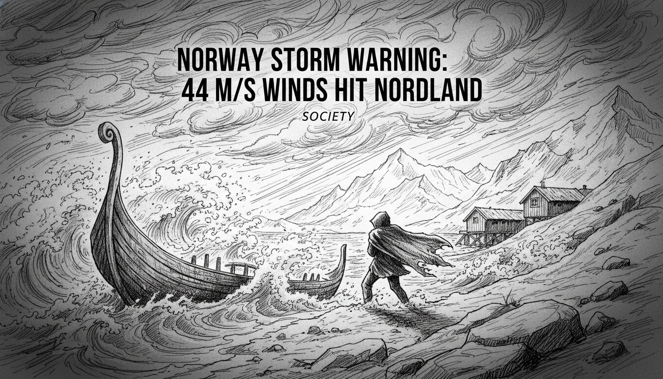
Norway's Meteorological Institute has issued severe weather warnings for large parts of Northern Norway, forecasting wind gusts of up to 44 meters per second. A powerful low-pressure system developing over the Norwegian Sea is set to strike coastal communities from Nordland to Troms on Saturday, bringing potential hurricane-force winds and waves exceeding 12 meters. The most extreme conditions are expected in the exposed Lofoten and Vesterålen archipelagos, where authorities warn of significant disruptions to transport and infrastructure.
A Coastal Region on High Alert
The forecast triggers immediate preparedness measures across a region accustomed to harsh weather but wary of its most violent expressions. County governors in Nordland and Troms have activated emergency response protocols, coordinating with the Norwegian Coastal Administration and the Norwegian Public Roads Administration. The primary concern is for coastal villages and the vital ferry and express boat network that connects islands to the mainland. "When we see forecasts of 40 meters per second or more, we know from experience that this will impact all forms of travel," said a senior advisor with the Norwegian Coastal Administration. "The combination of extreme wind and heavy snowfall creates a particularly dangerous situation for maritime traffic."
Residents in the warning areas are receiving official advice to secure all loose objects outdoors, from garden furniture to small boats. The public is urged to avoid unnecessary travel, especially on exposed coastal roads and bridges, which may be closed at short notice. Avalanche warnings have also been issued for several areas, as the predicted shift from rain to heavy, wind-driven snow increases the load on unstable snowpacks in the mountains.
The Meteorology Behind the Storm
The incoming tempest is the result of a rapid and intense cyclogenesis—a sharp deepening of a low-pressure system—over the Norwegian Sea. This process, sometimes called a weather bomb, pulls Arctic air southward, creating a steep pressure gradient that generates violent winds. As the low moves eastward, its northern flank will drag a cold front across the coast, turning precipitation to snow. "The core of the strongest winds will be relatively narrow but intense," explained a meteorologist with the Norwegian Meteorological Institute. "It will first impact Lofoten early Saturday morning, then spread northeastward along the coast through the day. The peak intensity should be relatively short-lived, but during that window, conditions will be very dangerous."
Forecast models predict the strongest gusts, between 35 and 44 m/s, for Nordland and southwestern Troms. This qualifies as a "strong storm" on the Beaufort scale, with the upper range touching hurricane force. For context, 44 m/s is approximately 158 kilometers per hour or 98 miles per hour. Significant wave heights of 8 to 12 meters are expected for exposed coastal areas, with individual waves likely being much higher. Such waves pose a severe threat to coastal infrastructure and navigation.
Impacts on Life and Livelihoods
The immediate economic and social disruption will be widespread. Aviation is highly sensitive to such conditions; airports in the region, including those serving the key towns of Bodø and Evenes, are likely to see numerous cancellations and delays. The region's lifeblood—the fishing industry—faces a direct hit. Fishing vessels, from small coastal boats to larger trawlers, will be forced to remain in port or seek shelter. The iconic Lofoten cod fishery, a winter season activity, could see a multi-day halt, affecting both catch volumes and the processing industry onshore.
Road traffic will be hazardous, particularly on the iconic coastal highways like the E10 through Lofoten and the E6 north of Bodø. The Norwegian Public Roads Administration has pre-positioned crews and equipment to handle fallen trees, snowdrifts, and potential road closures. Several major bridges in the region, such as the Gimsanstraumen bridge in Lofoten, are known to close during extreme wind events for safety reasons. Power outages are also a significant risk, as the wet, heavy snow and high winds can bring down trees onto power lines.
Historical Context and a Changing Climate
Northern Norway is no stranger to powerful storms. Historical weather records and local lore are filled with accounts of devastating events. However, climate scientists note that while it is difficult to attribute any single storm to climate change, the broader patterns are shifting. A warming Arctic may be influencing the behavior of the jet stream and potentially leading to more frequent and intense winter storms in the North Atlantic region. Warmer sea surface temperatures can also provide more energy to developing low-pressure systems, potentially increasing their severity.
"What we are observing aligns with broader climate model projections for the North Atlantic," said a climate researcher at the University of Tromsø. "The trend isn't necessarily more storms, but a potential increase in the intensity of the most extreme events. For coastal communities, this means preparedness and resilient infrastructure are more critical than ever." This storm serves as a real-time test of those systems, from early warning dissemination to the robustness of power grids and transport links.
Analysis: The Cost of Living on the Edge
This impending storm underscores the complex relationship Norway has with its dramatic and demanding natural environment. The very landscapes that draw tourists and sustain fisheries—the deep fjords, towering sea cliffs, and scattered islands—are also those most exposed to nature's fury. The societal model in these regions is built around adaptability and a deep-seated respect for weather conditions. Schools close, work schedules shift, and travel plans are abandoned based on forecasts in a way that would seem extraordinary in more temperate climates.
There is an economic calculus to this exposure. Insurance costs in these coastal zones are higher. Infrastructure, from houses built to specific wind-load standards to fortified harbors, requires greater investment. The government's continual investment in weather monitoring and forecasting, exemplified by the Meteorological Institute's detailed warnings, is a non-negotiable public service. It is a significant national expense aimed at preserving life and property in remote areas with relatively small populations.
Yet, the communities persist and thrive. The storm will pass. Ferries will resume their routes, fishermen will return to the sea, and the airports will hum back to life. The resilience is born of necessity and generations of experience. But each major event prompts renewed discussion about long-term sustainability, the concentration of population in vulnerable coastal areas, and how to balance the economic benefits of coastal living with its inherent and growing risks. As the winds begin to howl this Saturday, it will be a stark reminder of the power that ultimately shapes life in the Norwegian north.