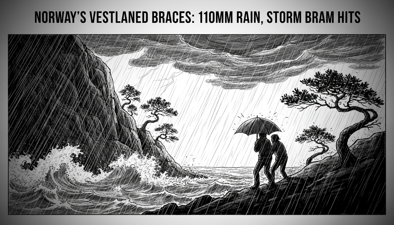
Norway's Meteorological Institute has issued a yellow-level weather warning for the western region of Vestlandet, forecasting an intense 24-hour deluge of 80 to 110 millimeters of rain. The heavy rainfall, driven by the remnants of Storm Bram currently battering the British Isles, is expected to begin Wednesday evening, with areas south of the iconic Sognefjorden facing the highest risk. While Vestlandet residents are famously resilient to wet weather, meteorologists caution that this volume of precipitation is significant enough to cause disruption and warrants public awareness.
"It is south of Sognefjorden that is most exposed," said Julie Solsvik Vågane, the duty meteorologist at the Norwegian Meteorological Institute. "It is a yellow danger warning, which means there can be some consequences, but it is not such that you have to go out and take a lot of measures right now." Her statement underscores the calibrated nature of Norway's warning system, designed to inform without inciting undue alarm. The yellow alert sits between green (no danger) and orange (considerable danger), indicating that weather conditions are potentially hazardous and may lead to minor disruptions to infrastructure and travel.
The Atlantic's Fury Reaches the Fjords
The incoming weather system is a direct spillover from Storm Bram, which is delivering similar rainfall totals—but over a shorter, more intense period—to parts of the United Kingdom. This pattern is classic for Norway's western coast, a region sculpted by and deeply vulnerable to the powerful weather systems of the North Atlantic. The steep mountains and deep fjords that define Vestlandet's breathtaking landscape also accelerate runoff, turning heavy rain into rapid rises in river and stream levels. This geography necessitates constant vigilance from local authorities and hydrologists.
"How bad it is depends on what you are used to," Solsvik Vågane noted, acknowledging the region's high baseline for precipitation. When asked if western Norwegians would be overly concerned, she responded, "No, but it will probably be noticed; it is, after all, an unusually large amount of rain that is coming." This expert perspective highlights a key challenge in the region: distinguishing between a typical wet spell and a genuinely hazardous event. The forecasted 80-110mm in a day falls into the latter category, demanding attention from municipal road crews, energy companies, and emergency services.
Beyond the Warning: Infrastructure and Preparedness
A yellow warning activates a well-rehearsed protocol across Vestlandet's counties and municipalities. While a full-scale emergency response is not triggered, key agencies move to a state of heightened readiness. The Norwegian Water Resources and Energy Directorate (NVE) monitors its network of hydrological stations, tracking soil saturation and water levels in real time. This data is critical for assessing the secondary risk of landslides, a perennial threat in regions where saturated soil can lose its grip on steep slopes.
Local road authorities prepare to dispatch crews to clear drains and culverts, which can quickly become blocked by debris, leading to localized flooding on roads. The Norwegian Public Roads Administration often issues travel advice, urging motorists to allow extra time, increase following distances, and be prepared for possible closures on vulnerable mountain passes or coastal roads. Ferry services along the coast, a lifeline for many communities, may also experience delays or cancellations if winds associated with the system intensify beyond forecasted levels.
The Bigger Picture: Climate and a Wetter West
This event, while significant, fits into a broader climatic context for Norway. Climate projections consistently indicate that the country, and particularly its western coast, will experience an increase in the frequency and intensity of extreme precipitation events. Warmer air holds more moisture, and as the North Atlantic warms, weather systems crossing from regions like the British Isles can carry greater volumes of rainfall to Norwegian shores. This trend turns what was once considered an "unusually large amount of rain" into a more familiar pattern, testing the resilience of infrastructure designed for a different climate era.
Hydrologists point out that the impact of such rainfall is not solely about the volume falling from the sky. The antecedent conditions—how wet the ground already is—play a decisive role. A dry autumn can allow the soil to absorb a substantial downpour, while a saturated landscape from prior weeks of rain will shed water almost immediately into rivers and streams. The current state of ground saturation across Vestlandet will be a primary factor in determining whether this yellow warning event crosses into localized flooding.
Community Response and the Culture of Readiness
The societal response to a yellow warning in Norway is characterized by a pragmatic, informed calm. Norwegians are generally well-versed in weather preparedness, a necessity in a country with such dramatic seasonal and geographic variations. Residents in vulnerable areas will typically secure loose outdoor items, ensure drainage paths around their properties are clear, and stay updated via official channels like the Meteorological Institute's website and app, or the national emergency broadcaster NRK.
This self-reliance is complemented by robust public systems. Municipalities have detailed contingency plans, and the chain of command for escalating a response is clear. The yellow warning serves as the starting pistol for these plans to move from the page to operational readiness. It is a signal to mayors, councilors, and emergency managers to review staffing, check equipment, and ensure communication lines are open, all while the public goes about its daily life with a slightly sharper eye on the sky and the news.
Looking Ahead: From Bram to Future Storms
As Storm Bram's energy fuels this bout of heavy rain, the focus for authorities will be on the 24-hour window from Wednesday evening. The most critical period will likely be as the rainfall peaks, potentially overnight, when reduced visibility and the cover of darkness can compound hazards. The aftermath will also require attention, as engineers inspect roads and slopes for damage once the water recedes.
This event serves as a reminder of the persistent power of nature along Norway's coast and the sophisticated systems the country has built to manage it. The color-coded warning system, the expert analysis from meteorologists like Julie Solsvik Vågane, and the layered response from local agencies work in concert to mitigate risk. For the residents of Vestlandet, it is another chapter in a long relationship with the weather—a relationship built on respect, preparation, and the understanding that the beauty of the fjords comes with the fury of the Atlantic. The question moving forward is not if another Bram will arrive, but how the increasing frequency of such systems will shape life on Europe's rugged northwestern edge.