Finland's brutal cold snap, which delivered a bone-chilling -38.9°C in Kittilä, is set for a dramatic reversal with temperatures forecast to potentially rise above zero nationwide next week. The sudden shift of nearly 40 degrees Celsius illustrates the volatile nature of Finland's continental winter climate, promising relief but also raising questions about broader weather patterns. Meteorologist Hannu Valta from the Finnish Meteorological Institute confirmed the deep freeze is finally loosening its grip across most regions.
From Arctic Grip to a Thawing Nation
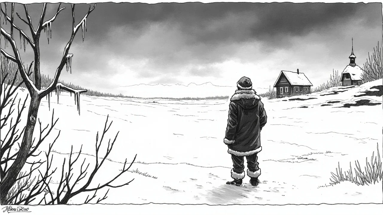
This week began with the southern and central parts of the country entrenched in -7°C to -12°C frost. Lapland, however, remained locked in a severe deep freeze, with temperatures still plunging well below -30°C in western areas. The contrast highlighted the persistent divide in winter conditions between the Arctic north and more temperate south. By Tuesday and Wednesday, the nationwide forecast called for a slightly moderated cold, with readings between -7°C and -15°C. The significant change is projected for Thursday, when temperatures along the western coast are predicted to hover near the freezing point. This marks the leading edge of a warmer air mass expected to sweep across the country.
'If the southwesterly wind blows just right, the temperature will be several degrees above zero across the entire country,' said meteorologist Hannu Valta. He tempered this forecast with a note of caution, stating the alternate extreme would see the sub-zero conditions persist. 'In any case, the weather is heading towards milder temperatures,' Valta confirmed. This uncertainty is typical for Finnish weather forecasting at this seasonal juncture, where small shifts in Atlantic airflows can determine whether snow melts or simply hardens. The institute's models show a high probability of widespread warming by the weekend, though the exact magnitude remains the critical variable.
The Science Behind the Sudden Shift
The anticipated thaw is driven by a major shift in atmospheric pressure patterns. A strong low-pressure system developing over the North Atlantic is poised to channel milder, maritime air from the southwest directly into Finland. This will replace the continental high-pressure system that has been funneling extremely cold air from the Russian Arctic. The precise trajectory and strength of this low-pressure system will dictate how much and how quickly temperatures rise. Such rapid warming events, while notable, are not unprecedented in Finland's climatological history. They often occur in late winter as the increasing solar energy begins to interact with shifting jet stream patterns.
This event, however, underscores the increasing variability observed in recent decades. While a single weather event cannot be directly attributed to climate change, scientists note that the Arctic region is warming at a rate three to four times faster than the global average. This phenomenon, known as Arctic Amplification, can destabilize the polar vortex and lead to more frequent outbreaks of both extreme cold and unseasonable warmth at northern latitudes. The current forecast, moving from record-setting cold to potential widespread thaw within a week, fits a pattern of greater weather extremes.
Impacts on Infrastructure and Daily Life
For Finnish citizens and municipalities, this abrupt change presents both welcome relief and practical challenges. The extreme cold strains energy grids as heating demand soars and can cause treacherous road conditions and transportation delays. A rapid thaw, conversely, brings risks of melting snow and ice leading to flooding, slippery conditions from refreezing overnight, and potential damage to roads from freeze-thaw cycles. Municipal road maintenance crews must pivot quickly from managing snow and ice clearance to preparing for possible water drainage issues.
For the public, the shift dramatically alters daily routines. The severe cold limits outdoor activities and requires significant energy consumption to keep homes warm. A rise above zero degrees Celsius will be immediately felt, allowing for more time outside and reducing heating costs. This psychological boost is significant during the long Nordic winter, where daylight hours are only now beginning to lengthen appreciably. The change also affects industries like construction and logistics, which often slow during the deepest winter months but can resume more normal operations during milder periods.
A Look at the Historical Context
Finland's climate is characterized by its extremes, and historical data shows similar dramatic swings. The nation's geographical position between the maritime influence of the Atlantic and the continental climate of Eurasia makes its weather inherently changeable. Records from the Finnish Meteorological Institute show instances where temperatures have risen by 20-30 degrees Celsius within a 48-hour period during winter. The forecasted shift, while substantial, operates within the realm of documented natural variability for the region. Nevertheless, each event provides valuable data for refining climate models and improving the accuracy of long-range forecasts.
The current situation will be closely monitored not just for its immediate effects, but for what it might indicate about the remainder of the winter season. A sustained period of above-zero temperatures in February could lead to an earlier-than-average start to the spring melt, impacting water systems and agriculture planning. It remains too early to predict if this thaw signals a permanent transition towards spring weather or if another bout of severe cold could follow. Finnish weather proverbially can change back just as quickly as it improves.
Navigating the Final Weeks of Winter
As Finland stands on the cusp of this major temperature swing, the focus turns to adaptation. The Finnish Meteorological Institute continues to update its forecasts, providing essential information for public safety and economic planning. The potential for icy conditions as snow melts and refreezes will be a key hazard communicated to the public. This event serves as a powerful reminder of the raw power and complexity of Nordic weather systems. It moves from a narrative of enduring harsh cold to one of managing a rapid and impactful transformation in the environment. The coming days will reveal whether the nation trades its sub-zero landscape for one of dripping icicles and melting snow, closing a notable chapter in this winter's story.