Iceland's Reykjanes Ridge recorded its largest earthquake today, a magnitude 3.4 tremor in a swarm near the island of Eldey. Dozens of quakes have been measured in the area, with a particularly intense period occurring between 1 pm and 3 pm. The Icelandic Met Office confirms the seismic activity, while noting its intensity has decreased.
The Swarm's Peak
Jóhanna Malen Skúladóttir, a natural hazard specialist at the Icelandic Met Office, described the event. “This was most intense between one and three o'clock, but then one quake, a 3.4, hit at ten minutes to five,” Jóhanna Malen said. She confirmed it was followed by some aftershocks. The swarm itself began earlier, with an official notice stating a rather intense earthquake series started at 12:40 pm near Eldey, with around 100 quakes detected.
A Familiar Pattern
The specialist was quick to contextualize the event for a public accustomed to seismic activity. “I would not say the series is intensifying. It is still ongoing. We regularly get fairly intense series on the Reykjanes Ridge,” she stated. She added this swarm is so close to land that it is possible some people felt it on the mainland, though the Met Office had received no reports confirming that. “This is rather common. At Eldey, we have series like this several times a year,” Jóhanna Malen noted, emphasizing that the intensity had subsided since 3 pm.
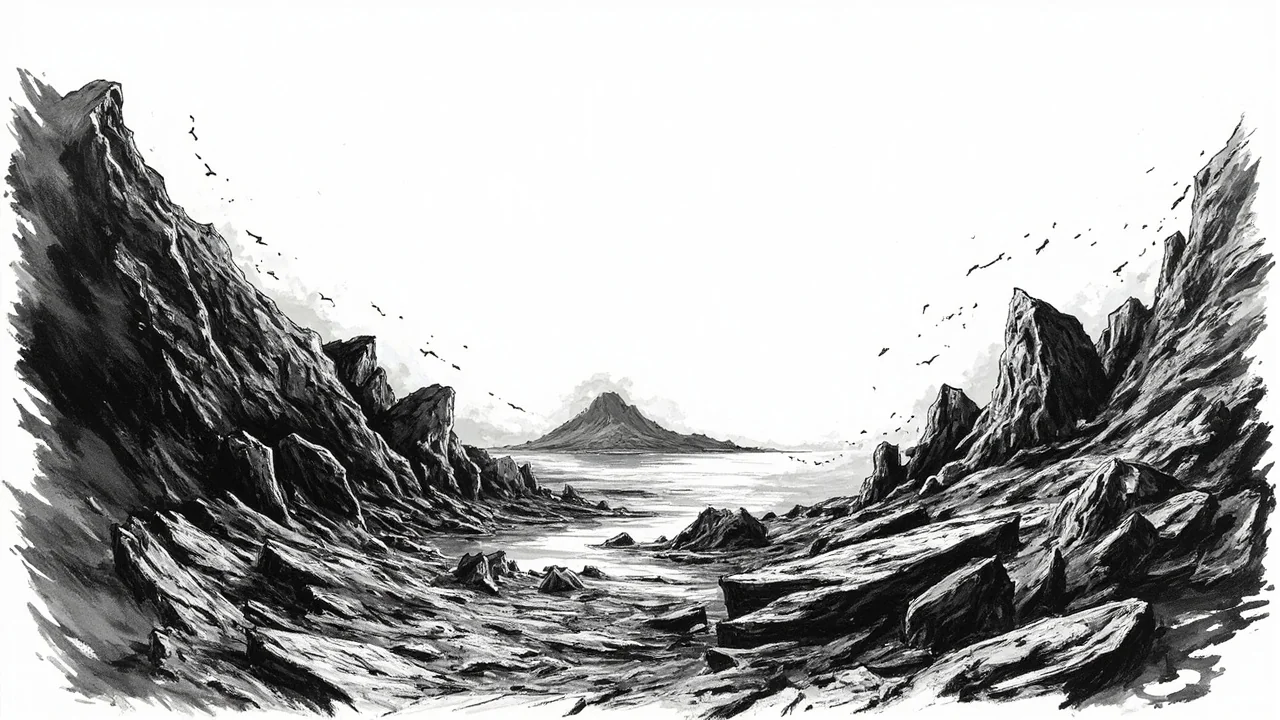
Geology of the Reykjanes Ridge
The Reykjanes Ridge is a submarine extension of the Mid-Atlantic Ridge, the tectonic boundary between the North American and Eurasian plates. This underwater mountain range is seismically and volcanically active, forming the foundation of Iceland itself. Activity here is a constant reminder of the powerful geothermal forces that shape the island nation. The ridge runs southwest from the Reykjanes Peninsula, a region that has experienced significant volcanic unrest and eruptions in recent years, drawing global attention to Iceland's dynamic landscape.
Monitoring the Unpredictable
For Icelanders, living on one of the most geologically active spots on Earth means constant monitoring is part of life. The Icelandic Met Office maintains a dense network of seismometers and GPS stations across the country. This system provides real-time data crucial for assessing hazards, whether from earthquakes or potential volcanic eruptions. Events like today's swarm near Eldey are logged and analyzed, contributing to the deep understanding of plate tectonics in the North Atlantic. This knowledge is vital for risk assessment, particularly for the populated regions on the Reykjanes Peninsula and in the capital area of Reykjavik.
Historical Context and Regional Significance
Eldey itself is a steep basalt rock island, a former volcanic island now primarily known as a bird sanctuary hosting one of the world's largest northern gannet colonies. Its location makes it a sentinel for seismic activity along this critical plate boundary. The Reykjanes Peninsula, directly linked to this ridge, entered a new period of volcanic activity in 2021 after nearly 800 years of dormancy. This new era has seen multiple eruptions, reshaping parts of the landscape near Grindavík and the Blue Lagoon area. While today's swarm is not directly linked to the peninsula's magma systems, it underscores the pervasive tectonic stress in the broader region.
The Human Dimension
While this specific swarm did not generate reports of feeling on land, it serves as a routine drill for Iceland's early warning and response systems. For residents of towns like Grindavík, which has faced repeated evacuations due to volcanic threats, and for people in Reykjavik's southwestern suburbs, seismic notifications are a regular part of modern life. The nation's infrastructure, from geothermal power plants to the key road connecting Keflavík International Airport to the capital, is built with this reality in mind. Each seismic event refines the models used by civil protection and urban planners.
A Nation Built on Fire and Ice
Iceland's relationship with its geology is fundamental. The same forces that cause earthquake swarms also provide over 90% of the nation's heating through geothermal energy and create the dramatic landscapes that drive its tourism industry. The Icelandic Met Office's work bridges these two realities, providing the scientific basis for both harnessing geothermal power and protecting communities from its more dangerous manifestations. Today's activity at Eldey is a small, routine chapter in that ongoing story.