Sweden weather forecasts predict a turbulent weekend before conditions stabilize early next week. The Swedish Meteorological and Hydrological Institute (SMHI) has issued orange and yellow weather warnings across eastern and northern regions. These alerts follow severe disruptions caused by Storm Johannes and the ongoing impact of Storm Anna, which delivered heavy snowfall and powerful winds. Traffic authorities warn of continued travel hazards as the nation navigates the final days of the holiday period.
Orange warnings, indicating severe weather with potential danger, are active for significant snowfall and wind in eastern Sweden through Saturday. Yellow warnings, signaling potentially hazardous conditions, remain for northern and eastern Svealand on Sunday. Major urban centers including Stockholm and Uppsala fall within these alert zones. The persistent severe weather complicates the return home for thousands of Swedes concluding their winter holidays.
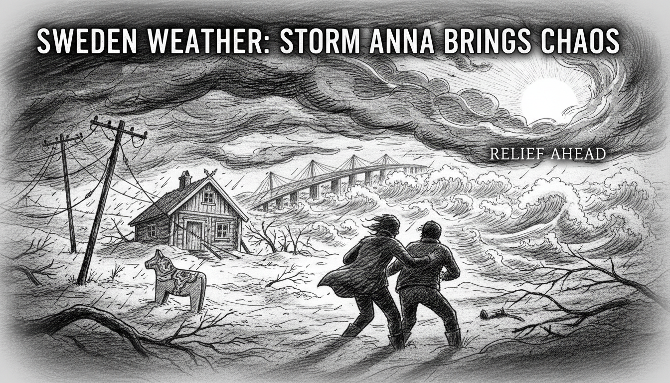
A Nation Grappling with Dual Storms
The current volatile weather pattern is the legacy of two consecutive storms. Storm Johannes previously left thousands of households without power across southern and central Sweden. Its successor, Storm Anna, has compounded these issues with substantial snow accumulation and gusting winds, leading to blocked roads, delayed public transport, and dangerous driving conditions. SMHI meteorologists note that such back-to-back severe weather events, while not unprecedented, place considerable strain on infrastructure and emergency services.
Trafikverket, the Swedish Transport Administration, reports numerous incidents of vehicles stranded in deep snow and multiple traffic accidents linked to poor visibility and slippery surfaces. Their national traffic management center is operating at heightened capacity. "Our primary advice is to avoid non-essential travel in the affected warning areas," a Trafikverket spokesperson stated. "For those who must travel, extreme caution and preparation are absolutely necessary."
Official Guidance for Public Safety
In response to the crisis, authorities have issued clear and repeated public safety recommendations. Beisi Sundin, press spokesperson for Trafikverket, emphasized planning and patience for those returning from holiday. "There are several days available for travel," Sundin said. "If you have the possibility, you should choose the day with the best weather conditions." She highlighted that rushing in difficult conditions is a primary cause of accidents.
SMHI's role is critical in this coordination. Their regional warnings trigger specific preparedness actions from municipalities and transport agencies. The institute advises the public to monitor updated forecasts frequently, as conditions can change rapidly. Their online maps and mobile app provide real-time updates on warning areas, which are categorized by both severity and the type of hazard, such as snow, wind, or ice.
The Critical Travel Window and Preparedness
With Monday, January 8th, marking a widespread return to work and school, the period from Sunday afternoon through Monday morning is expected to see peak travel density. Traffic experts anticipate significant congestion on major motorways like the E4 and E6, especially if weather conditions delay the clearing of roads. Sundin provided concrete advice for motorists: "Prepare as if you could be stuck in your car for three to four hours. What do you need then? Perhaps water, something to eat, and make sure you can charge your phone."
This guidance aligns with Sweden's "72-hour preparedness" philosophy, where individuals are encouraged to manage on their own during the initial phase of a crisis. For winter travel, this translates to a vehicle emergency kit containing blankets, a shovel, traction aids, food, water, and a power bank for mobile phones. Many Swedish drivers routinely carry these items during winter months, but authorities stress their importance ahead of this specific high-risk travel period.
Analysis: A Tested System Under Pressure
Sweden's infrastructure and crisis management systems are designed for harsh winters, but sequential storms provide a rigorous test. The coordination between SMHI, Trafikverket, the Swedish Civil Contingencies Agency (MSB), and local rescue services is a well-rehearsed protocol. The color-coded warning system (yellow, orange, red) is publicly understood and generally heeded, contributing to overall societal resilience.
However, challenges persist. The concentration of travel after a holiday period creates a vulnerability, putting a large number of people on the roads simultaneously. Furthermore, the geographical spread of the warnings affects densely populated regions around Lake Mälaren, increasing the potential for large-scale disruption. Energy companies are also on high alert, working to restore power from Storm Johannes while bracing for potential new outages from heavy, wet snow bringing down lines.
Looking Ahead to a Calmer Week
Forecast models indicate a positive shift starting Monday. SMHI predicts more stable atmospheric conditions spreading across the entire country, with a decrease in precipitation and wind speeds. While cold temperatures will remain, the cessation of active snowfall will allow road maintenance crews to catch up and fully clear vital arteries. The risk of further widespread warnings for early next week is currently assessed as low.
This return to seasonal winter weather, rather than storm conditions, will be a welcome relief. It allows for a safer commute and enables utility companies to complete restoration efforts unimpeded. The episode serves as an annual reminder of winter's power in Scandinavia. It also demonstrates the effectiveness of Sweden's proactive, information-driven approach to managing natural hazards, where public trust in agencies like SMHI and Trafikverket is a key component of national safety. Will this winter bring more named storms, or has the most turbulent period passed? Meteorologists are watching the North Atlantic closely for the next system to form.