A severe cold snap is sweeping across Finland this week, with meteorologists predicting exceptionally low temperatures nationwide. The Finnish Meteorological Institute reports that Tuesday will bring freezing conditions throughout the country, marking the beginning of what they describe as a very wintery week.
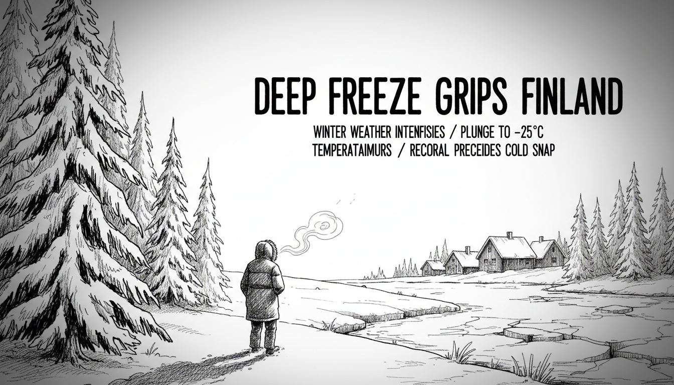
Temperatures dropped to freezing levels across Finland overnight, with the coldest readings recorded in northern regions. The mercury fell between 10 to 25 degrees Celsius below zero in Lapland, depending on cloud cover. Even southern and central Finland experienced frost between 1 to 5 degrees below zero.
Meteorologist Antti Jylhä-Ollila stated that sub-zero temperatures will persist throughout Tuesday. The cold will intensify further during Wednesday night, which forecasters predict will be the coldest night of the week. If cloud cover breaks, southern Finland could see temperatures plummet to -10°C, while central regions may experience -10 to -20°C. Lapland will continue to endure the most severe frost.
This early winter freeze comes as somewhat unexpected given recent weather patterns. Just days ago, parts of southeastern Finland experienced record-breaking rainfall. In Virolahti, located in the Kymenlaakso region, weather stations measured 79 millimeters of precipitation within 24 hours. This shattered the previous November daily rainfall record of approximately 53 millimeters set in Isojoki, South Ostrobothnia, back in 1971.
The dramatic shift from record rainfall to deep freeze illustrates Finland's volatile autumn weather patterns. The heavy rainfall resulted from a slow-moving band of showers that developed over the Gulf of Finland. Now, that moisture is turning to snow as Arctic air masses dominate.
Weather patterns will see some modification later in the week. A low-pressure system from the southwest will bring precipitation starting Wednesday evening and continuing through Thursday. Cloud cover will increase and temperatures will moderate slightly. Most precipitation will fall as snow, even in southern and central regions where several centimeters may accumulate. Only coastal areas in the southwest archipelago might see some rain mixed with snow.
Northern Finland, particularly Lapland, will remain under the influence of cold air masses throughout the week. Low-pressure systems won't reach these regions, meaning consistently freezing temperatures with variations depending on cloud conditions.
The sudden temperature drop serves as a sharp reminder that winter has arrived early this year. Finnish authorities typically advise residents to prepare for such conditions by winterizing vehicles, checking heating systems, and ensuring proper cold-weather clothing is available. For international visitors and new residents, this rapid weather change highlights the importance of adapting to Finland's climate extremes.
Road maintenance crews across Finland are now on high alert, treating major highways and monitoring conditions. The transition from rain to snow creates particularly challenging driving conditions, with potential for ice formation on road surfaces. Commuters should expect longer travel times and prepare for winter driving conditions even in southern regions where snow hasn't yet become commonplace this season.