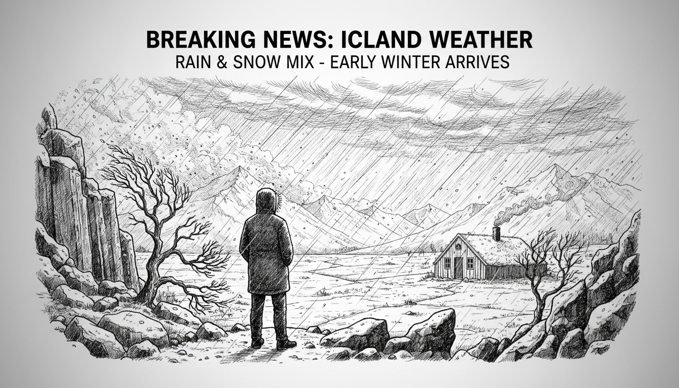
Iceland's Meteorological Office predicts northeast winds across most regions today. The winds will strengthen significantly in the Westfjords area. Snow showers or light snowfall will occur in North and East Iceland. Meanwhile, Southwest Iceland will experience rain or sleet with probable snow in highland areas. Other regions will see light snow or showers, but Southeast Iceland remains mostly dry. Temperatures will range from 1 to 6 degrees Celsius nationwide.
The weather service stated that Tuesday will bring stiff northerly winds with snow showers in northern and eastern regions. Southern and southwestern areas will see lighter conditions. Temperatures will hover around or below freezing.
Wednesday continues similar weather patterns with northeast winds and snow showers in northern and eastern Iceland. The southwest part of the country will have partly cloudy skies. Daytime temperatures will reach 1 to 4 degrees, with widespread overnight frost expected.
International readers should note that Iceland's weather changes rapidly due to its Arctic location. The Westfjords region mentioned is a remote northwestern peninsula known for dramatic landscapes and harsh weather conditions. Weather forecasts here directly impact travel plans and daily life, as many roads become impassable during severe conditions.
This mixed precipitation pattern is typical for Icelandic autumn, but the temperature drop suggests winter is approaching earlier than usual. The forecast indicates residents should prepare for slippery roads and potential travel disruptions across multiple regions.