Norway's southern coast is bracing for a severe winter storm, with up to 40 centimeters of snow forecast for the next 24 hours. The system, which made landfall in Agder county Sunday, has triggered an orange-level danger warning—the second-highest alert—from Mandal to Froland. Emergency services across the region are mobilizing, warning of potential power outages, communication blackouts, and treacherous driving conditions as the snow is expected to later turn to sleet and rain.
"It can create challenges for power and communications. We must be prepared to stand in it for a while and that we may lose mobile coverage in periods," said county emergency chief Bengt Henriksen. All snowplow crews in Agder have been deployed, and municipalities have advised residents to charge phones and electric vehicles. The immediate human impact was felt early Monday on the E6 highway near Lillestrøm, where a chain-reaction collision involving eight cars occurred on icy roads, though only material damage was reported.
A Coordinated Response Across the South
The storm's center is currently over the Agder region, but its effects are widespread. A yellow-level warning for strong winds is in effect for the entire West Coast up to Nordland, while mountain areas across Southern Norway are under a yellow alert for snowdrift. The Norwegian Water Resources and Energy Directorate (NVE) and the Norwegian Meteorological Institute are coordinating closely with local emergency managers. The orange warning for "heavy precipitation" is a relatively new classification, introduced in the summer of 2020 for extreme, localized downpours. Its use for a snow event of this predicted magnitude underscores the storm's severity.
"The goal is to be as well prepared as possible when the severe weather hits," Henriksen stated. His team has been in constant contact with power companies Tafjord Kraft and Agder Energi, as well with telecom providers Telenor and Telia. The concern is that heavy, wet snow followed by rain could bring down power lines and disrupt fiber optic cables. In mountainous inland areas like Hovden, the combination of fresh snow and high winds creates a high risk for snowdrifts that can block roads and isolate communities within hours.
Infrastructure and Travel Grind to a Halt
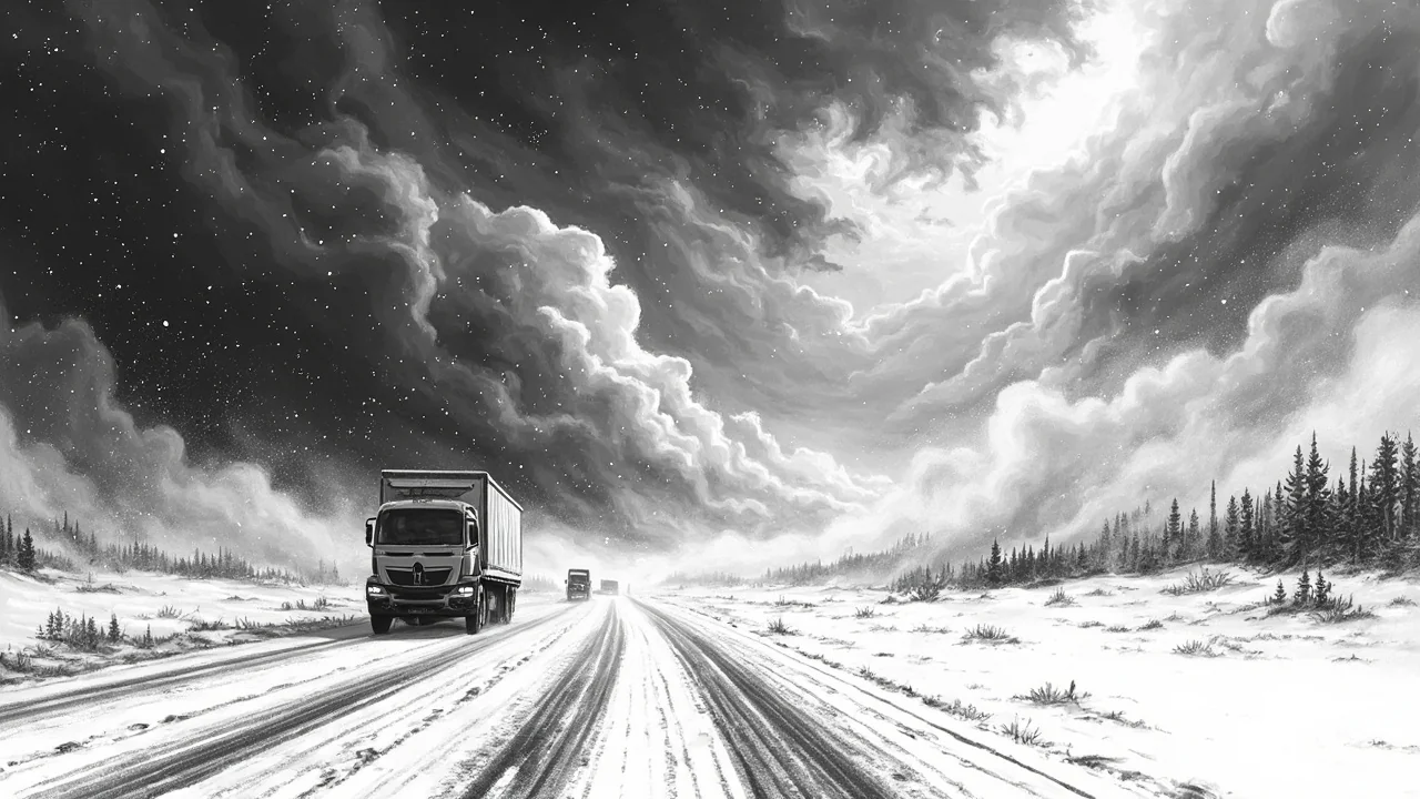
Transportation authorities are facing the first major test of the winter season. The Norwegian Public Roads Administration has reported slippery roads across the country, with particular emphasis on county roads in Agder, Vestfold, and Telemark. The early-morning collision on the E6, a major national artery, is a stark example of the rapidly deteriorating conditions. "Eight cars are involved, and three cars need recovery," said operations manager Ronny Samuelsen of the incident. While traffic was moving slowly past the scene, the event caused significant delays during the morning commute.
Ferry services along the coast are also being affected, with several routes canceled or operating on reduced schedules due to the wind warnings. For residents, the advice is unequivocal: avoid non-essential travel. "If an orange level is announced, you should take it very seriously. This does not happen often, and it means great danger. Prepare for serious consequences, and think twice if you have plans to be in the affected area," the official weather warning states. The system's progression from snow to rain poses a unique challenge, threatening to turn compacted snow into sheets of ice.
The Science Behind the Sudden Squall
This storm is characteristic of a potent winter low-pressure system moving in from the North Sea. It draws moist air from the southwest, which rises and cools rapidly upon hitting the Norwegian coastline, dumping large amounts of precipitation. The forecast shift from snow to sleet and rain is due to a milder air mass expected to follow the initial front. This precise weather pattern is difficult to predict for specific valleys and fjords, which is why the warnings cover broader regions. Meteorologists are monitoring the freezing line closely, as a small shift in its altitude can mean the difference between 40 cm of snow and 40 mm of freezing rain in populated coastal areas.
Climate researchers note that while individual storms cannot be directly linked to climate change, Norway's warming climate is leading to more precipitation overall. This means winter storms may increasingly bring heavy, wet snow or rain-snow mix rather than dry powder, increasing the load on structures and the risk of icing. The country's preparedness systems, honed over decades of dealing with harsh weather, are now adapting to these subtler shifts in storm character.
Preparedness in a Digitally Dependent Society
The emergency chief's warning about potential mobile network loss highlights a modern vulnerability. Norway's rugged terrain means coverage can be patchy even in good weather; heavy snow and ice accumulation on transmitter masts can compound the problem. This storm tests not just physical infrastructure but digital resilience. Authorities are reminding citizens to have battery-powered radios and to inform family of travel plans. The proactive charging of electric vehicles is another modern consideration, ensuring that if power is restored at home, personal mobility is not immediately hampered.
Local community response teams, often volunteer-based, are on standby. These teams are crucial for checking on elderly and vulnerable residents, especially in remote areas where professional services may be delayed. The storm's timing, hitting at the start of the work week, maximizes disruption but also means full daytime staffing for emergency and municipal services. The real test will come if the storm persists into the night or if the predicted icing materializes.
Looking Beyond the Immediate Forecast
While the focus is on Southern Norway, the wind warnings for the West and North indicate a powerful and extensive weather system. For the energy sector, the storm is a double-edged sword. It disrupts distribution, but the accompanying winds boost wind turbine production, and the precipitation replenishes hydropower reservoirs—Norway's primary electricity source. Statnett, the national grid operator, will be working to balance these factors to maintain stable supply.
The event serves as an annual reminder of nature's dominance in Scandinavia. Norway's advanced forecasting and well-drilled response systems mitigate risk, but as Monday's multi-vehicle crash showed, the margin for error on the roads disappears quickly. The coming hours will reveal if the preparations are sufficient, or if this storm, with its mix of snow, sleet, and rain, will write a new chapter in the region's long history of confronting winter's fury. Will the shift to rain wash the danger away, or will it create an even more treacherous layer of ice beneath?