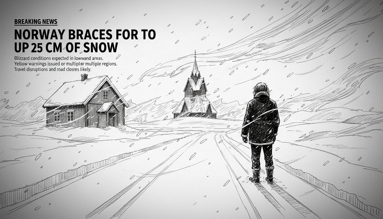
Norwegian authorities have issued a yellow weather warning for heavy snowfall expected across multiple regions. The Meteorological Institute predicts snow showers and sleet will reach lowland areas starting Sunday afternoon.
Local accumulations of 5 to 25 centimeters are forecast for lowland regions. Mountain areas may receive even heavier snowfall. Precipitation in lower elevations could alternate between hail, rain, and snow throughout the event.
Transportation officials warn of potentially difficult driving conditions. Reduced visibility from blowing snow and possible road closures in mountainous regions present additional hazards. The warning covers parts of Øst-Finnmark, Vest-Finnmark, Nordland, Nord-Trøndelag, and mountain areas in Southern Norway.
This early-season snow event comes as Norway transitions toward winter weather patterns. The yellow warning represents the middle level in Norway's three-tier alert system, indicating conditions that may be dangerous to the general public.
Norwegian infrastructure maintains strong preparedness for winter conditions. The country's road administration deploys winter tires and snow chains as standard seasonal requirements. Most vehicles transition to winter tires by November, though this early snowfall may catch some drivers unprepared.
Meteorologists note that early winter storms can create particularly hazardous conditions. Drivers may not yet have adjusted to winter driving techniques, and roads lack the packed snow base that develops later in the season. The variation between rain and snow at lower elevations creates unpredictable road surfaces.
Local authorities advise residents to monitor weather updates and adjust travel plans accordingly. Emergency services remain on standby to assist with any weather-related incidents. The public should prepare for possible disruptions to transportation and allow extra time for journeys.
Norway's mountainous terrain often creates dramatic weather variations within short distances. Coastal areas might experience rain while inland valleys receive heavy snow. This geographic complexity makes localized forecasting particularly important for safety planning.
The yellow warning remains in effect until conditions improve. Authorities will upgrade to orange or red alerts if the situation deteriorates significantly. Current models suggest the system will move eastward by early next week.