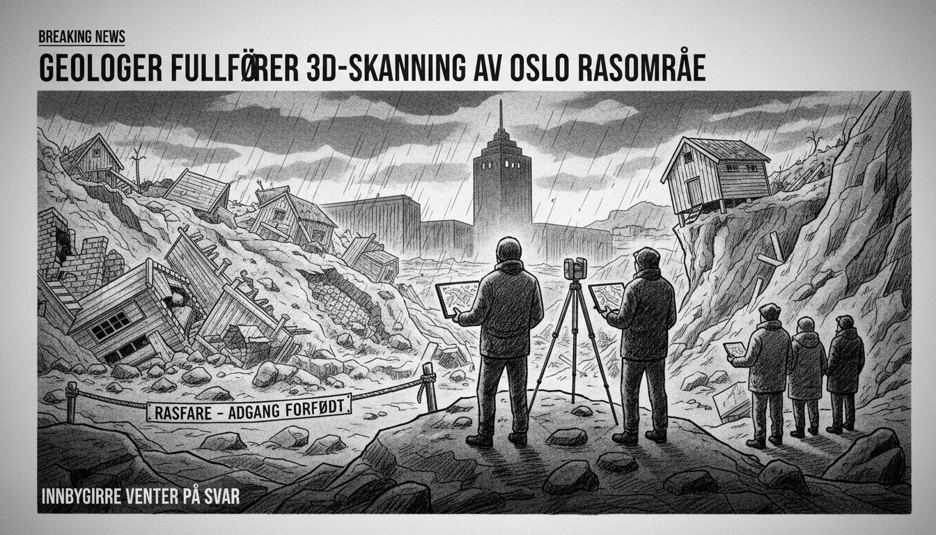
Geologists have conducted advanced scanning at the Carl Berner landslide area in Oslo. The work aims to create a detailed 3D model of the collapsed terrain.
Student Welfare Organization in Oslo confirmed the scanning operation. Communication director Nina Langeland stated that results are not yet available.
Norway's Geotechnical Institute explained that a 3D image will provide better safety assessment data. Only after analysis will authorities determine when residents can retrieve belongings or return home.
The landslide occurred at Carl Berner, a major transportation hub in eastern Oslo. This area serves as a critical intersection for roads and public transit.
Residents remain displaced while experts assess the stability of surrounding buildings. The comprehensive scanning represents the latest step in understanding what caused the ground to give way.
Landslides in Norway typically occur after heavy rainfall or when construction disturbs unstable soil. This incident highlights the challenges of building in urban areas with complex geology.
Authorities have not provided a timeline for when the area might be declared safe. The detailed scanning should reveal whether adjacent structures face similar collapse risks.