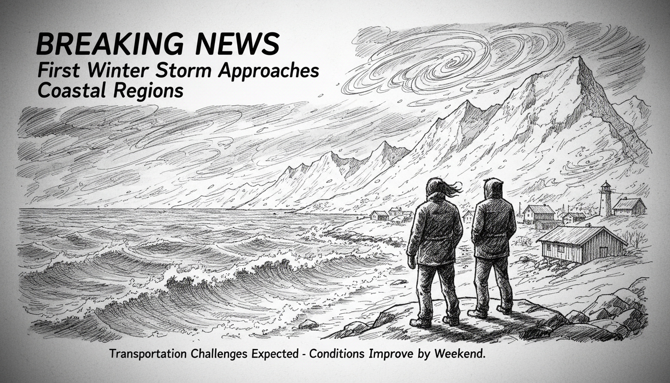
Winter tightens its grip on Norway as temperatures drop steadily each week. Snow already blankets many areas across the country. Now meteorologists warn the season's first significant storm system approaches coastal regions.
A polar low-pressure system will likely strike Trøndelag and parts of Northern Norway starting Thursday. This weather phenomenon differs from typical Atlantic storms that approach from the west.
Meteorologist Espen Biseth Granan explained the developing situation. "The low-pressure system forms near Bear Island and moves southward," he said in a weather briefing. "It appears most intense when reaching the Trøndelag coast Thursday evening."
The Lofoten, Vesterålen and Helgeland regions will experience strong northwestern winds Thursday afternoon. These could intensify to full storm conditions along the Nordland coast from Sandnessjøen southward. Northern Trøndelag will face similar conditions Thursday night into Friday.
Meteorologists describe this as a brief but intense weather event. It will bring turbulent snow showers and powerful winds across affected areas. The Norwegian Meteorological Institute likely will issue official weather warnings for snow in Trøndelag and Møre og Romsdal.
Granan provided crucial context about polar low-pressure systems for non-meteorologists. "This isn't a storm in the conventional sense," he clarified. "Classic storms usually come from the west. This low-pressure system originates from the north within cold air masses that interact with warmer sea surfaces."
This temperature contrast creates extremely strong thermal differences. Under favorable conditions, these differences generate circulation patterns that become polar lows. Current forecasts indicate exactly this development now underway.
The polar low will create transportation challenges throughout affected regions. "Locally difficult driving conditions may develop," Granan noted. "Public transport including air and boat traffic could experience disruptions. People should monitor updated warnings as Friday approaches."
Norway's coastal communities regularly face such early winter storms. The country's mountainous terrain and long coastline create unique weather patterns. Polar lows particularly affect northern regions where Arctic and Atlantic weather systems collide.
Travelers and residents in central and northern Norway should prepare for potentially hazardous conditions. These include reduced visibility from blowing snow and possible road closures. The brief storm duration means conditions should improve relatively quickly.
Weather calm returns after the system passes. Forecasters predict relatively quiet winds throughout the upcoming weekend across most regions.
Early winter storms test Norway's preparedness systems. The country maintains extensive weather monitoring networks and emergency response protocols. These help mitigate risks during sudden weather changes that characterize Nordic winters.
International visitors to Norway should understand that weather changes rapidly, particularly in coastal and mountain areas. Checking official weather warnings remains essential for safe travel planning during winter months.