Norway's Meteorological Institute has issued a series of severe weather warnings for Christmas week, forecasting a dangerous mix of heavy rainfall and widespread icy conditions across central and northern regions. The agency has activated its second-highest orange alert for extreme precipitation in parts of Nordland, signaling potential risks to life, property, and holiday travel.
"This is a serious warning," said duty meteorologist Anne Solveig Andersen. "It will be very wet. There will be a lot of precipitation and very mild temperatures. This is not something we issue often, and it is important to take it seriously." The warnings, covering the period from Christmas Eve through the holiday, predict a volatile shift from cold to mild weather, creating perfect conditions for treacherous black ice and potential flooding.
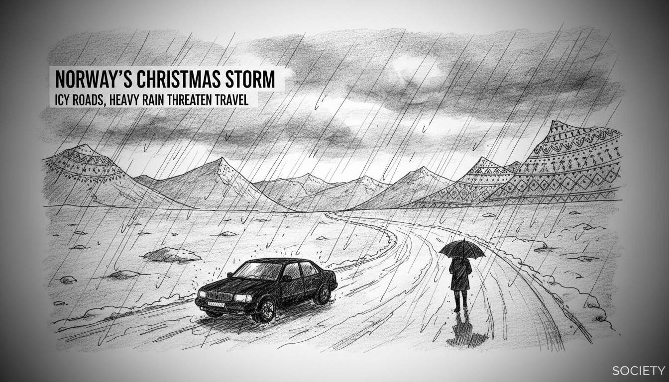
A Dual Threat of Ice and Deluge
The immediate concern for motorists is the formation of black ice, or 'hålkeføre,' a notoriously difficult-to-spot glaze that forms when rain freezes on cold road surfaces. Yellow warnings for ice are in effect for parts of Trøndelag and southern Nordland from Tuesday night into Wednesday. The risk extends to Christmas Eve morning, with meteorologists warning of freezing rain that can coat roads, vehicles, and objects in a slick, transparent layer of ice.
Simultaneously, an atmospheric river is poised to dump staggering amounts of rain on coastal northern counties. An orange warning—indicating a high probability of severe consequences—is active for parts of Nordland, where 60 to 70 millimeters of rain could fall within 12 hours, with totals potentially reaching 90 millimeters in 24 hours. Neighboring Troms and Vest-Finnmark are under a yellow warning for heavy rain, with forecasts of 40-70 millimeters, though this could be upgraded.
"With the combination of very heavy rainfall and ice, there can be a lot of surface water," Andersen explained. "It can seep into houses, and driving conditions can become very difficult." This dual threat of ice limiting drainage and intense rainfall creates a significant flooding hazard for low-lying areas and properties near overwhelmed waterways.
Emergency Services on High Alert
The coordinated warnings have put national and local emergency services on standby. The Norwegian Public Roads Administration (Vegdirektoratet) and emergency police are echoing the meteorological alerts, advising the public to prepare for hazardous road conditions throughout the holiday week. Their central message is one of caution and planning.
Travel, particularly on Christmas Eve—a day when Norwegians traditionally travel to be with family—is expected to be severely impacted. The Meteorological Institute's criteria for an orange warning explicitly notes the potential for "roads to be closed and departures by boat, plane, and other transport to be cancelled." Ferry services along the rain-lashed coast of Nordland and Troms are especially vulnerable to schedule disruptions or cancellations.
For residents in the warning zones, the advice is clear: avoid unnecessary travel, secure property against potential floodwater, and stay informed via official channels like Varsom.no, the joint national warning website. The institute defines an orange warning as an event where consequences "become extensive for many people or for a large area," with "a real danger that lives and values may be lost."
The Science Behind the Seasonal Hazard
This severe weather event is a classic example of a winter hazard in Norway's coastal climate, where the interplay between the warm North Atlantic Current and cold continental air masses creates volatile conditions. The predicted sequence involves a rapid transition from cold to mild air. As a layer of warm, moist air moves over sub-freezing ground and road surfaces, rain falls through the cold layer near the ground and freezes on contact, creating black ice.
This phenomenon is particularly dangerous because it can occur rapidly and the resulting ice is often clear, making roads look merely wet. The subsequent heavy rainfall, fueled by intense low-pressure systems common in the Norwegian Sea during winter, then falls on these iced surfaces. The ice blocks normal drainage, leading to rapid pooling and surface flooding, while the rain further erodes traction.
Meteorologists stress that while yellow warnings are common for various weather situations where consequences are relatively minor, an orange warning signifies a step-change in severity. "Most people will be able to continue with their daily chores under a yellow warning," the institute notes, "but those planning to travel in affected areas should be extra cautious." An orange warning, however, demands broad public attention and action.
Broader Implications for Infrastructure and Safety
The timing of this storm system, directly impacting Christmas Eve and Christmas Day, presents unique challenges for emergency response. Resources may be stretched thinner than usual due to the holiday, and the cultural imperative to be with family could tempt some to undertake risky journeys despite official warnings. Local municipalities in Nordland and Troms are likely activating their contingency plans, which may include pre-positioning snowplows and graders to clear debris from drains, sanding crews to tackle ice, and setting up emergency shelters should travel become impossible.
The risk extends beyond roads. Power outages are a possibility if heavy, wet snow or ice accumulates on power lines in inland areas transitioning through the freezing level. Basement flooding in urban areas with inadequate drainage could cause significant property damage. For mountain passes and inland valleys, the precipitation may initially fall as snow before transitioning to rain, creating a heavy, unstable snowpack that increases avalanche risk in the days following the storm.
A Call for Holiday Caution
As families finalize their Christmas plans, the unified message from meteorologists, road authorities, and police is one of prudence. "Plan extra time," has been the consistent advice for any essential travel. For those in the orange warning zone for rain, checking basement sump pumps, clearing outdoor drains of snow and ice, and moving valuables away from potential water ingress points are recommended steps.
The Norwegian approach to weather hazards relies heavily on an informed public heeding official warnings. The sophisticated forecasting from the Meteorological Institute and the clear communication through Varsom.no are designed to give citizens the knowledge to make safe decisions. This Christmas, that decision may well involve altering long-held traditions, staying put, and prioritizing safety over schedule.
Will this severe weather warning redefine a traditionally festive journey for thousands of Norwegians, underscoring the raw power of the nation's winter climate even during the holidays? The coming days will test both the infrastructure and the public's respect for the forecasts that so often guard this rugged nation from the elements.