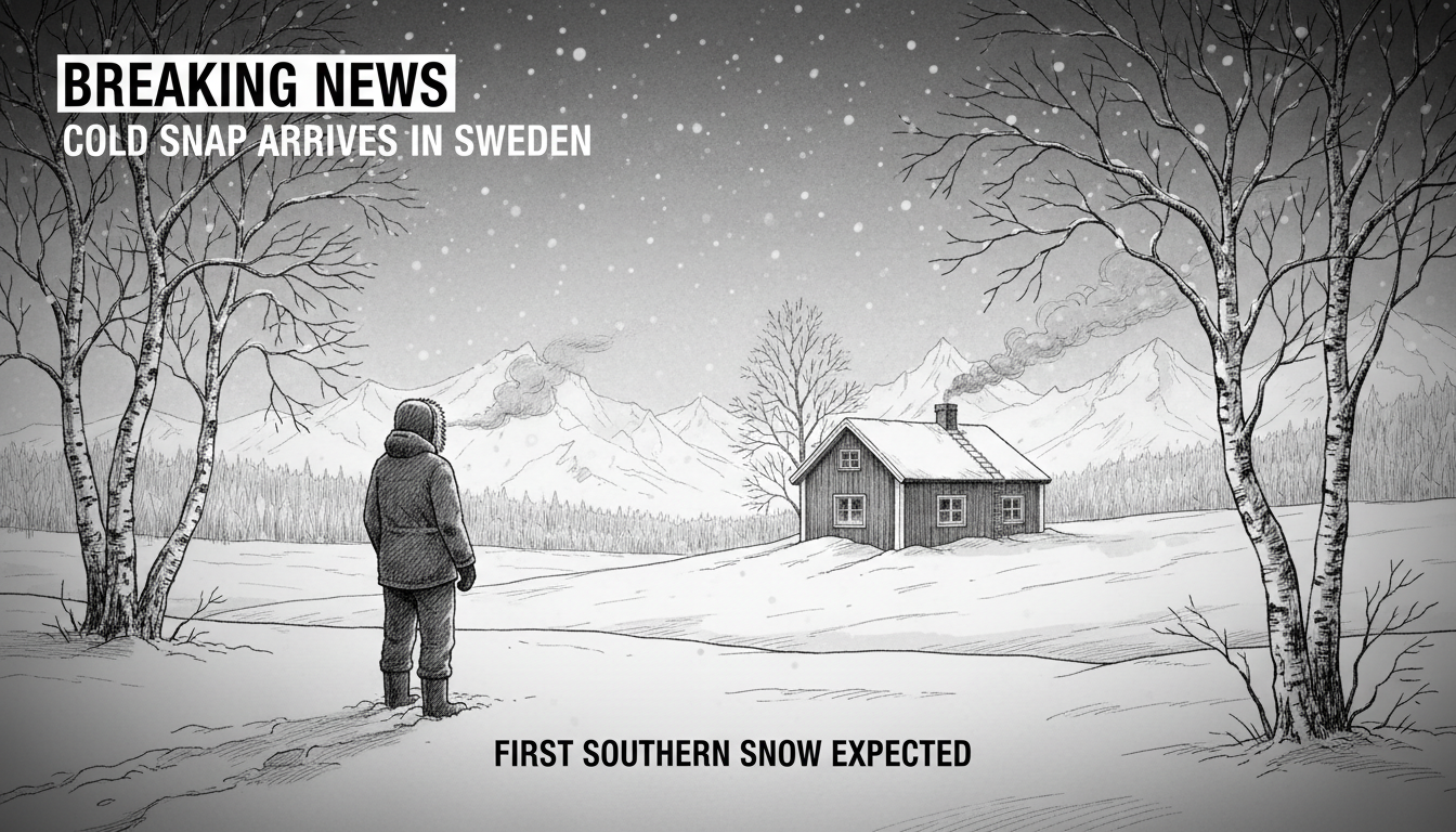
An unusual weather phenomenon over Greenland has opened the door for freezing Arctic air to sweep across Sweden. The country now faces a cold and sunny weekend, with the first snowfall expected in southern regions. This marks a dramatic shift from the unusually mild autumn that characterized recent weeks.
Meteorologists confirm that colder air is moving into Sweden from the north. Temperatures will drop significantly across the entire country during the coming days. Inner Norrland in northern Sweden could experience temperatures between 20 and 25 degrees below zero Celsius. Southern Sweden will also face substantially colder conditions than residents have grown accustomed to this season.
This sudden temperature drop represents a typical Nordic weather pattern where Arctic air masses rapidly displace milder systems. The Greenland blocking phenomenon responsible for this cold snap occurs when high pressure systems stall over the region, redirecting weather patterns across Northern Europe. Such events have become more noticeable in recent years, though scientists continue to study potential connections to broader climate shifts.
The timing of this cold wave carries particular significance for Sweden's energy and transportation sectors. Early snow in southern regions often tests municipal preparedness for winter conditions. Road maintenance crews typically begin deploying salt and sand as temperatures approach freezing. Many municipalities have already conducted their annual winter readiness checks, but this early cold snap provides the first real test of their systems.
For international readers unfamiliar with Swedish climate patterns, it's worth noting that southern Sweden typically experiences milder winters than the northern regions. Snowfall in cities like Malmö or Gothenburg in early November occurs but isn't commonplace. The Scandinavian weather system creates dramatic differences between coastal and inland areas, with temperature variations of 10-15 degrees Celsius occurring within relatively short distances.
What practical implications does this weather shift hold for residents and visitors? The sudden temperature drop requires adjustments to heating systems and winter clothing choices. Motorists should prepare for potentially icy conditions, especially on secondary roads and bridges. Homeowners may need to winterize outdoor pipes and fixtures earlier than anticipated. The silver lining comes in the form of predicted sunny conditions, which should provide excellent opportunities for winter photography and outdoor activities once properly dressed.
Looking ahead, weather patterns suggest this cold spell may persist through much of the coming week. The interaction between the Greenland blocking system and Atlantic weather systems will determine whether this represents a brief cold interlude or the true beginning of Scandinavian winter. Current models indicate the high-pressure system may weaken within 7-10 days, potentially allowing milder air to return, though confidence in extended forecasts remains moderate at best.