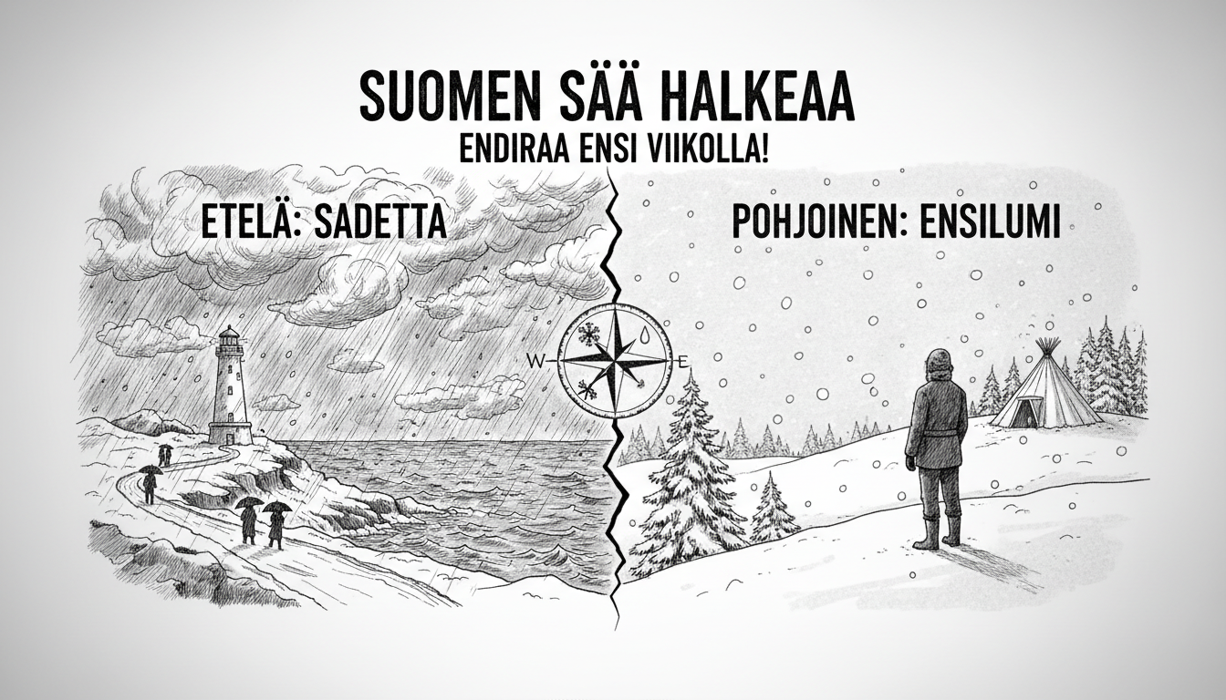
Finland will soon divide into two distinct weather zones. The Finnish Meteorological Institute reports a clear split developing after Thursday's widespread sunshine.
Southern Finland will receive a new low-pressure system bringing moist air from the southwest. Northern areas will maintain colder, drier conditions with occasional snow or sleet.
Temperatures will drop significantly across northern regions next week. The forecast suggests occasional frost may reach southern areas too.
Meteorologist Henri Nyman noted in a weather bulletin that early week temperatures are unusually warm for the season. Southern thermometers reach 10 degrees Celsius during daytime, sometimes even at night.
Northern temperatures hover around 5 degrees with occasional frost near the northwestern arm region.
A wide rainfall area will arrive in western Finland during Tuesday's rush hour. This precipitation will cross the entire country by next morning. In northern Lapland, the rain will fall partly as snow.
Wednesday brings water and drizzle showers across southern and central Finland. The Meteorological Institute also forecasts periodic fog and mist during early week.
If current predictions hold, Finland could see its first widespread snowfall of the season. The weather division creates an unusual pattern where southern residents experience autumn conditions while northern areas already face winter's approach.