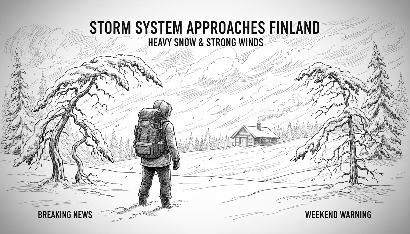
A powerful storm system is moving across Finland this week, bringing severe weather conditions nationwide. The Nordic low-pressure areas will deliver strong winds, snow squalls, and freezing temperatures across different regions.
Wednesday night will see heavy rainfall in many areas. Southwest winds will strengthen across most of Finland, excluding Lapland. Gusts may reach speeds up to 18 meters per second in inland areas. Temperatures will range between 2-10 degrees Celsius in southern Finland, while Lapland could experience frost down to -8 degrees.
Thursday brings changing conditions as precipitation areas become more scattered. Wind gusts begin to ease in southern Finland, but northern regions face increasing challenges. In Lapland, winds shifting to northerly directions may reach storm-force gusts. The Bothnian Sea could experience winds strengthening to full storm conditions.
Precipitation transitions to snow in Northern Ostrobothnia, Kainuu, and some central areas during Thursday. Temperature variations continue with southern and eastern Finland at 5-10 degrees, Ostrobothnia at 0-5 degrees, and Lapland ranging from zero to -5 degrees.
Between Wednesday and Friday, Central Lapland could accumulate 25-40 centimeters of snow. Other parts of Lapland and Northeast Finland may see 5-20 centimeters of fresh snow. The snow accumulation poses challenges for transportation and infrastructure across northern regions.
Friday marks a significant temperature drop reaching all the way to southern Finland. Precipitation decreases as a narrow snow shower area moves gradually from central regions toward the south. Marine areas may experience water and snow squalls that could drift inland.
Daytime temperatures on Friday will range from 0-4 degrees in the south and -1 to -10 degrees in the north. Central Finland will experience temperatures between -3 and +3 degrees, creating icy conditions on roads and walkways.
The weekend forecast remains uncertain as another low-pressure system may approach Finland. Saturday will likely bring shower-type precipitation concentrated in southern, central, and Northern Ostrobothnia regions. Most precipitation will be snow, though rain remains possible in southern and western areas.
Sunday may bring slightly warmer temperatures, but snow and rain showers will remain scattered. Lapland could experience extreme cold with temperatures potentially dropping to -20 degrees during the weekend period.
This severe weather pattern reflects typical Nordic autumn conditions where Arctic and Atlantic weather systems collide. The rapid temperature fluctuations and mixed precipitation create challenging conditions for residents and travelers alike. Northern Finland faces particular difficulties with heavy snow accumulation combined with strong winds that may cause visibility issues and transportation disruptions.
International visitors to Finland should exercise caution during this period. The combination of freezing temperatures, strong winds, and varying precipitation types requires appropriate clothing and careful travel planning. Road conditions may change rapidly, especially in northern regions where snow accumulation could affect driving safety.